Transport Functions
Port
Hub Profile
Place type
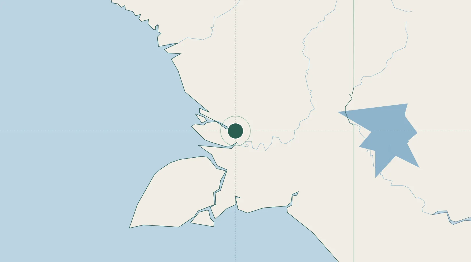
Populated place
Region
South Papua
Time zone
Asia/Jayapura
Elevation
14 m
Location
Nearby Logistics Neighbours
Ports
- 1Merauke211 km
- 2Amamapare346 km
- 3Daru496 km
- 4Thursday Island519 km
- 5Vanimo523 km
Airports
- 1Tanah Merah Airport155 km
- 2Bosset Airport210 km
- 3Mopah International Airport217 km
- 4Nop Goliat Dekai Airport238 km
- 5Awimbon Airstrip240 km
Trade Zones
DatabookThe Record of Consolidated Knowledge
Indonesia beyond logistics?