Runway & Layout

Airport Specifications
IATA code
LMY
ICAO code
AYLM
Airport class
Small airport
Scheduled service
Yes
Served city
Lake Murray
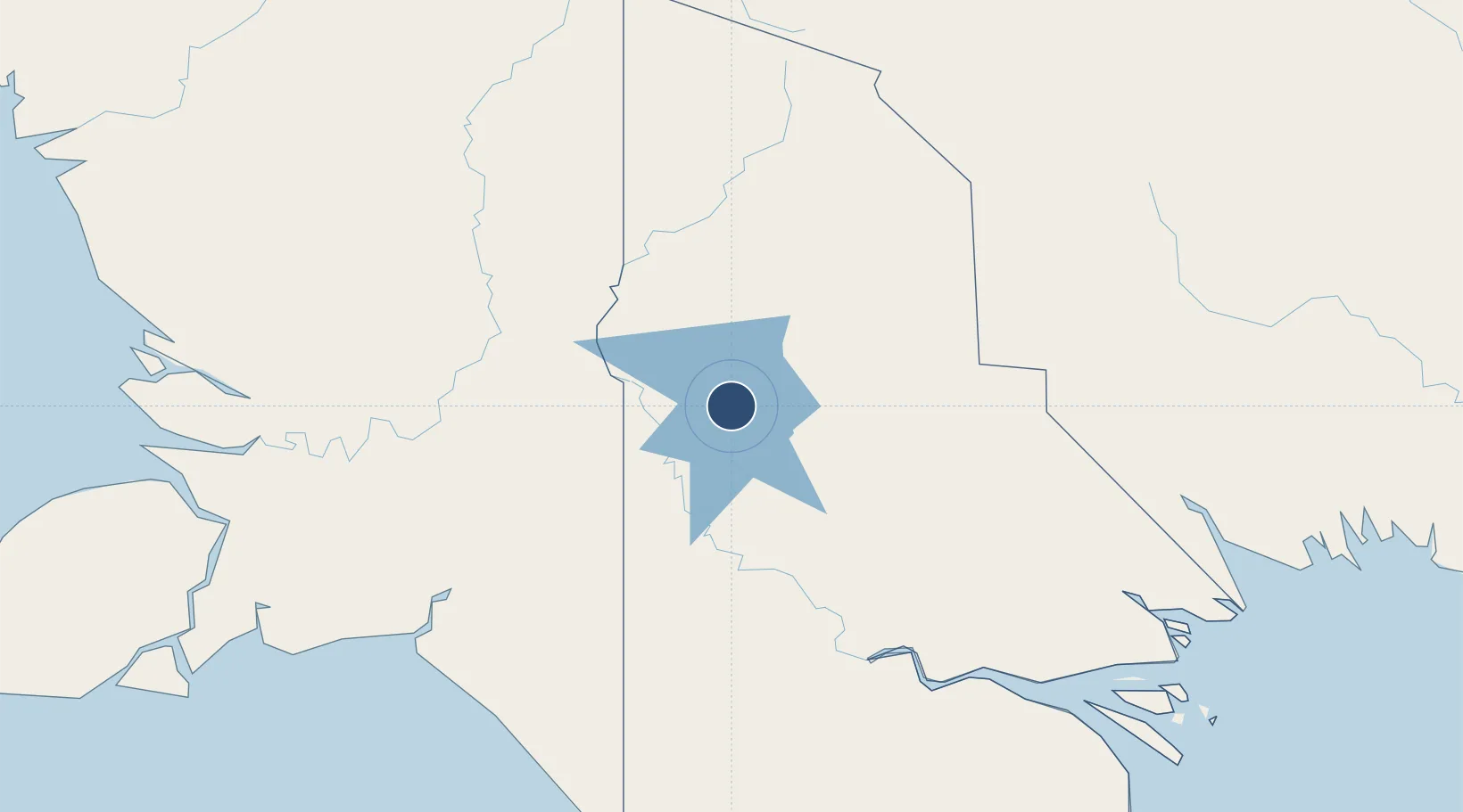
Location
Nearby Logistics Neighbours
Airports
- 1Bosset Airport50 km
- 2Obo Airport67 km
- 3Kiunga Airport101 km
- 4Sasereme Airport166 km
- 5Tanah Merah Airport166 km
Cities
- 1Aiambak45 km
- 2Asike126 km
- 3Kassue251 km
- 4Boigu Island263 km
- 5Wanam271 km
Ports
- 1Merauke205 km
- 2Daru296 km
- 3Kumul360 km
- 4Thursday Island405 km
- 5Wewak Harbor450 km
Trade Zones
DatabookThe Record of Consolidated Knowledge
Papua New Guinea beyond logistics?