Transport Functions
Port
Hub Profile
Place type
Populated place
Region
South Papua
Time zone
Asia/Jayapura
Elevation
25 m
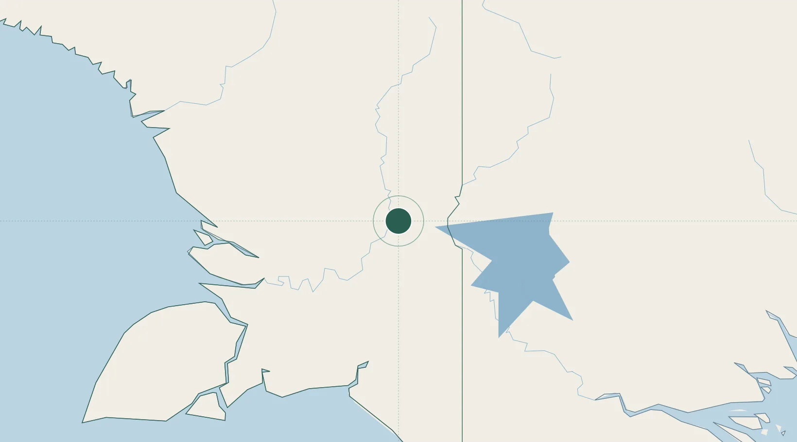
Location
Nearby Logistics Neighbours
Cities
- 1Aiambak122 km
- 2Kassue138 km
- 3Wanam176 km
- 4Boigu Island352 km
- 5Saibai389 km
Ports
- 1Merauke204 km
- 2Daru408 km
- 3Amamapare433 km
- 4Vanimo448 km
- 5Thursday Island480 km
Airports
- 1Tanah Merah Airport63 km
- 2Bosset Airport100 km
- 3Kiunga Airport112 km
- 4Lake Murray Airport126 km
- 5Obo Airport145 km
Trade Zones
DatabookThe Record of Consolidated Knowledge
Indonesia beyond logistics?