Small airport · Papua New Guinea
Kiunga AirportAYKI
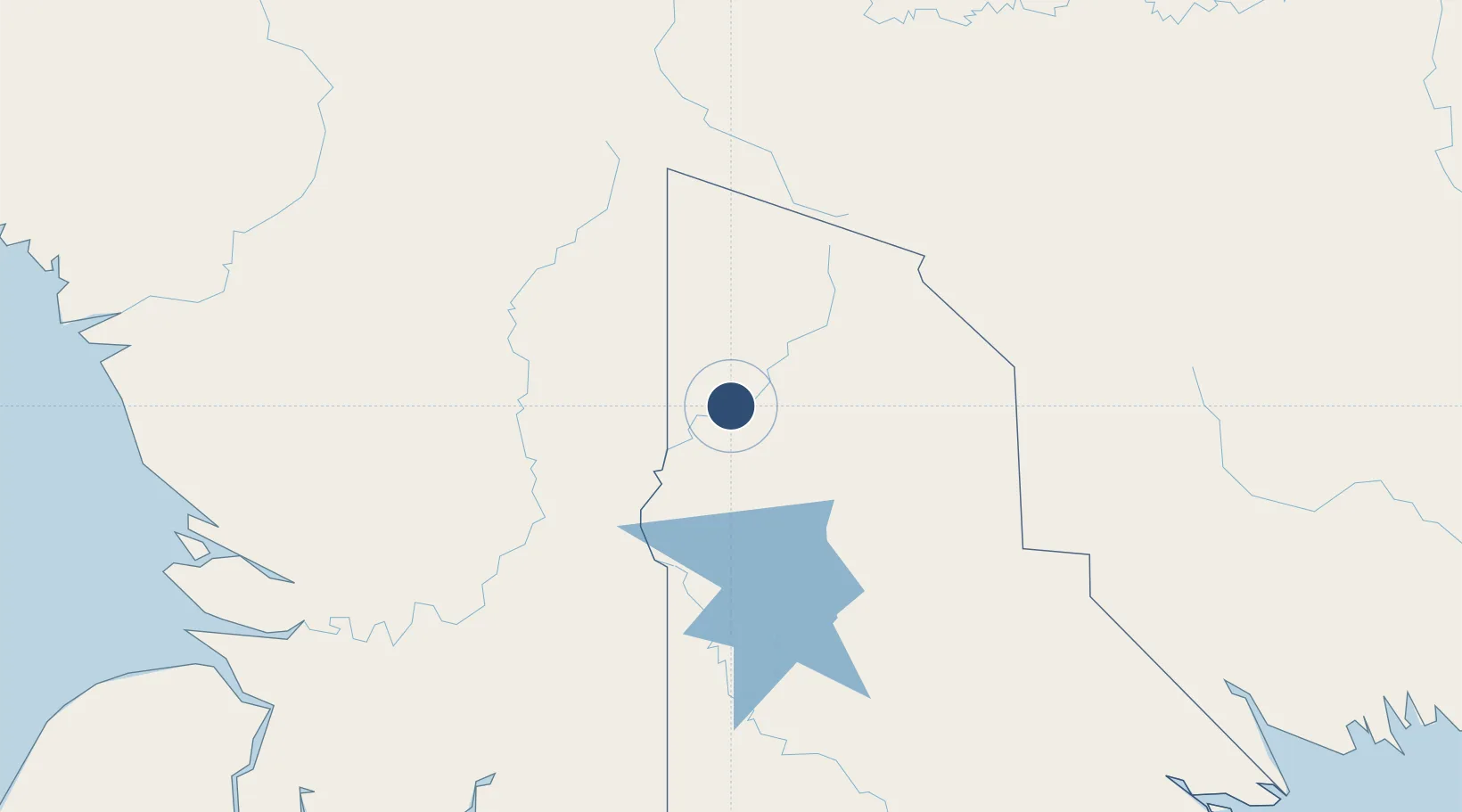
-6.1257°, 141.2820°
3,691 ft
Longest runway
1
Runways
88 ft
Elevation
Runway & Layout

Navaids
KIU NDB-DME Kiunga 0.17 MHz
Runways · 1
| Runway | Dimensions | Surface | True heading | Lit |
|---|---|---|---|---|
| 07/25 | 3,691 × —ft | Unknown | — | — |
Airport Specifications
IATA code
UNG
ICAO code
AYKI
Airport class
Small airport
Scheduled service
Yes
Runway surface
Unknown
Served city
Kiunga
Location
Nearby Logistics Neighbours
Airports
- 1Tabubil Airport94 km
- 2Lake Murray Airport101 km
- 3Tanah Merah Airport108 km
- 4Bosset Airport125 km
- 5Tarup Airstrip125 km
Ports
- 1Merauke280 km
- 2Vanimo383 km
- 3Wewak Harbor386 km
- 4Daru389 km
- 5Kumul424 km
Trade Zones
DatabookThe Record of Consolidated Knowledge
Papua New Guinea beyond logistics?