Runway & Layout

Airport Specifications
IATA code
TMH
ICAO code
WAKT
Airport class
Medium airport
Scheduled service
Yes
Served city
Tanah Merah
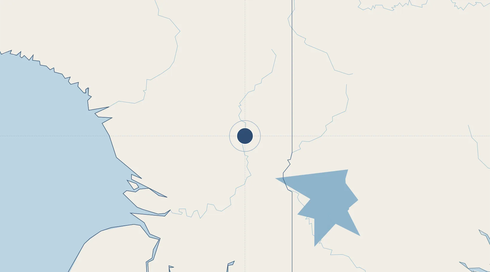
Location
Nearby Logistics Neighbours
Airports
- 1Awimbon Airstrip104 km
- 2Kiunga Airport108 km
- 3Iwur Airstrip116 km
- 4Tarup Airstrip125 km
- 5Tabubil Airport137 km
Ports
- 1Merauke266 km
- 2Vanimo391 km
- 3Amamapare396 km
- 4Daru459 km
- 5Wewak Harbor464 km
Trade Zones
DatabookThe Record of Consolidated Knowledge
Indonesia beyond logistics?