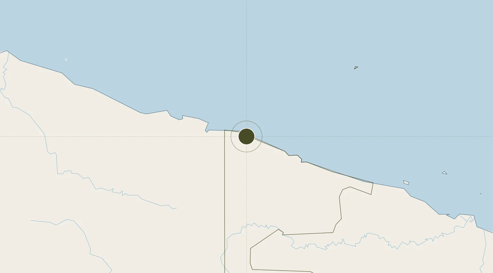
Specialized Zone · Papua New Guinea

Vanimo Special Economic Zone Under Development

-2.6933°, 141.2859°
17.0 km
Nearest port
1.9 km
Nearest airport

Gateway access

Nearest neighbours — logibook spatial index (haversine) over the source coordinates

Zone profile

Zone type
Specialized Zone
Open Zone Map
Specialization
Agriculture
Open Zone Map
Region
Sandaun
Open Zone Map
Status
Under Development
Open Zone Map
Management
Public
Open Zone Map
Operator
Vanimo Special Economic Zone Authority
Open Zone Map
Legal framework
Special Economic Zones Authority Act 2019
Open Zone Map

Location

Location of ozm-3084
Natural Earth 10m (public domain) · Sandaun · ozm-3084 · -2.69, 141.29GoogleOSMYandex

Nearby Logistics Neighbours

Ports
  1. 1Vanimo17 km
  2. 2Wewak Harbor278 km
  3. 3Amamapare534 km
  4. 4Madang576 km
  5. 5Merauke652 km
Nearest neighbours — logibook spatial index (haversine) over the source coordinates
Airports
  1. 1Vanimo Airport2 km
  2. 2Dortheys Hiyo Eluay International Airport86 km
  3. 3Hangmata Airstrip212 km
  4. 4Bordamban Airport214 km
  5. 5Dumpasik Airstrip214 km
Nearest neighbours — logibook spatial index (haversine) over the source coordinates
Cities
  1. 1Jayapura, Irian Jaya66 km
  2. 2Demta134 km
  3. 3Yentchan271 km
  4. 4Wewak280 km
  5. 5Tambanum307 km
Nearest neighbours — logibook spatial index (haversine) over the source coordinates
Trade Zones
  1. 1Sandaun Special Economic Zone149 km
  2. 2Sepik Special Economic Zone160 km
  3. 3Manus Special Economic Zone246 km
  4. 4Western Province Special Economic Zone487 km
  5. 5Pacific Marine Industrial Zone572 km
Nearest neighbours — logibook spatial index (haversine) over the source coordinates
DatabookThe Record of Consolidated Knowledge
Papua New Guinea beyond logistics?
Browse databook

All Sources

Trade ZonesOpen Zone Map
CC BY
Portsthe NGA World Port Index
Public domain (US gov)
AirportsOurAirports
Public domain
LocationsUN/LOCODE
UN/LOCODE — free
← Papua New Guinea trade zones