Small airport · Papua New Guinea
Bosset AirportAYET
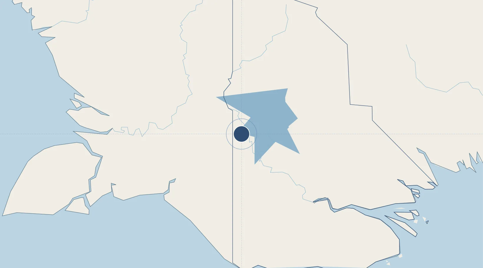
-7.2373°, 141.1063°
2,297 ft
Longest runway
1
Runways
80 ft
Elevation
Runway & Layout

Runways · 1
| Runway | Dimensions | Surface | True heading | Lit |
|---|---|---|---|---|
| 14/32 | 2,297 × 98ft | Grassed brown clay | — | — |
Airport Specifications
IATA code
BOT
ICAO code
AYET
Airport class
Small airport
Scheduled service
Yes
Runway surface
Grassed brown clay
Served city
Bosset
Location
Nearby Logistics Neighbours
Airports
- 1Obo Airport46 km
- 2Lake Murray Airport50 km
- 3Kiunga Airport125 km
- 4Tanah Merah Airport155 km
- 5Mopah International Airport162 km
Cities
- 1Aiambak22 km
- 2Asike100 km
- 3Kassue210 km
- 4Wanam224 km
- 5Boigu Island257 km
Ports
- 1Merauke160 km
- 2Daru307 km
- 3Thursday Island392 km
- 4Kumul393 km
- 5Wewak Harbor495 km
Trade Zones
DatabookThe Record of Consolidated Knowledge
Papua New Guinea beyond logistics?