Seaport · Papua New Guinea
VanimoPGVAI
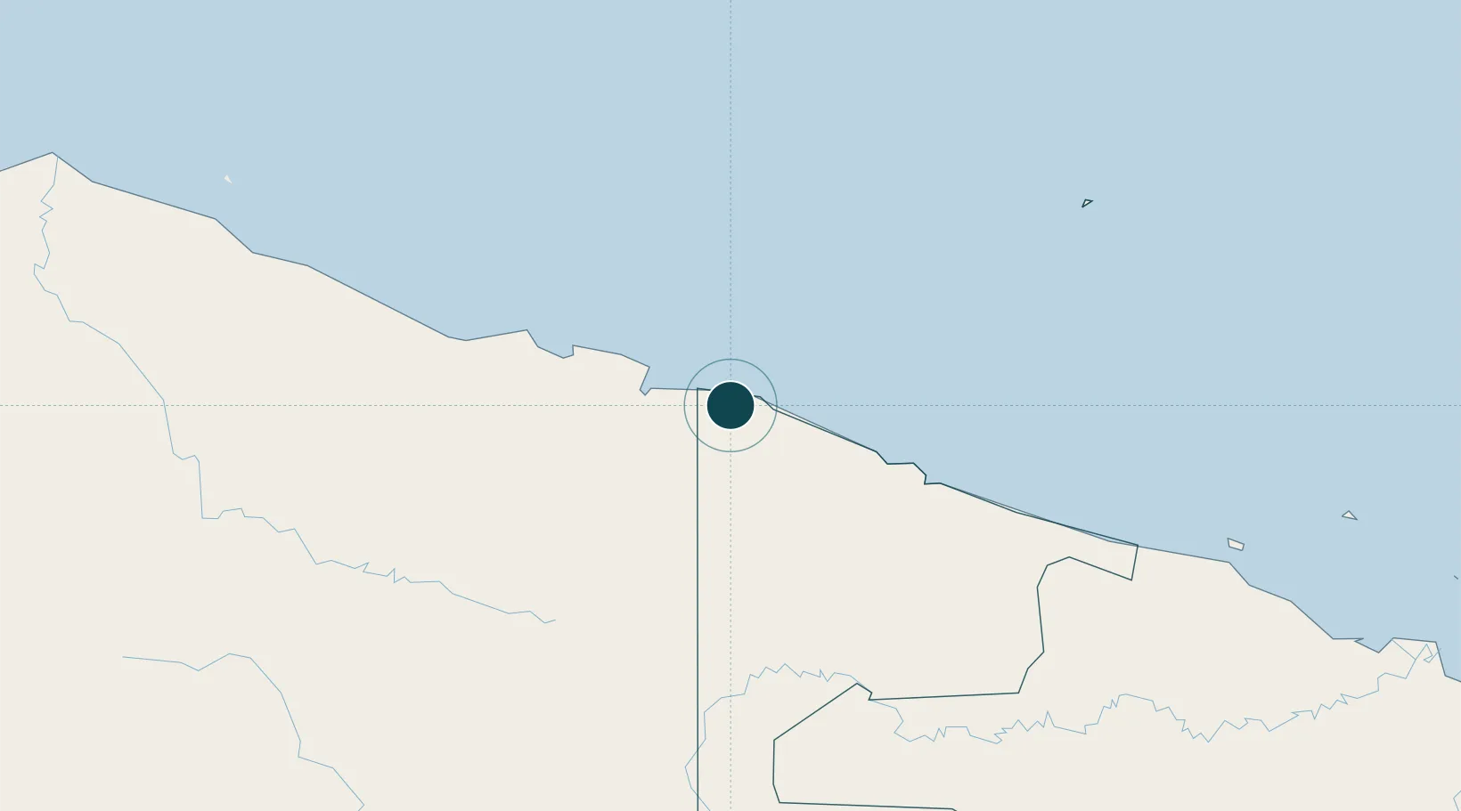
-2.6833°, 141.1333°
9.4 m
Channel depth
6.8
Port liner connectivity
Channel & Berth Profile
Pilotage, Tugs & Services
Pilotage compulsoryNO
Pilotage availableYES
Local assistanceYES
Tug assistanceYES
Potable waterYES
MedicalYES
Facilities & Capabilities
Container—
Ro-Ro—
Liquid bulk—
Dry bulk—
Oil terminal—
Break bulk—
Dry dock—
Repairs—
BunkeringYES
Rail linkYES
Dangerous cargo—
ISPS security—
Harbour Specifications
Harbour size
Small
Harbour type
Coastal (Natural)
Shelter
Excellent
Water body
South Pacific Ocean
Tidal range
2 m
Pilotage
No
Liner Connectivity
6.8
PLSCI
Port Liner Shipping Connectivity Index for Vanimo, as published by UNCTAD for the latest available quarter. Higher values indicate stronger scheduled liner-shipping integration.
Shown relative to the highest per-port PLSCI in the dataset (1,657.9).
Location
Nearby Logistics Neighbours
Ports
- 1Wewak Harbor294 km
- 2Amamapare520 km
- 3Madang591 km
- 4Merauke650 km
- 5Lorengau685 km
Cities
- 1Jayapura, Irian Jaya49 km
- 2Demta118 km
- 3Yentchan285 km
- 4Wewak296 km
- 5Tambanum322 km
Airports
- 1Vanimo Airport19 km
- 2Dortheys Hiyo Eluay International Airport69 km
- 3Hangmata Airstrip208 km
- 4Bordamban Airport208 km
- 5Dumpasik Airstrip209 km
Trade Zones
DatabookThe Record of Consolidated Knowledge
Papua New Guinea beyond logistics?