Channel & Berth Profile
Pilotage, Tugs & Services
Pilotage compulsoryNO
Pilotage availableNO
Tug assistanceYES
MedicalYES
Facilities & Capabilities
Container—
Ro-Ro—
Liquid bulk—
Dry bulk—
Oil terminal—
Break bulk—
Dry dock—
Repairs—
Bunkering—
Rail link—
Dangerous cargo—
ISPS security—
Harbour Specifications
Harbour size
Small
Harbour type
Coastal (Natural)
Shelter
Fair
Water body
Arafura Sea; South Pacific Ocean
Tidal range
7 m
Pilotage
No
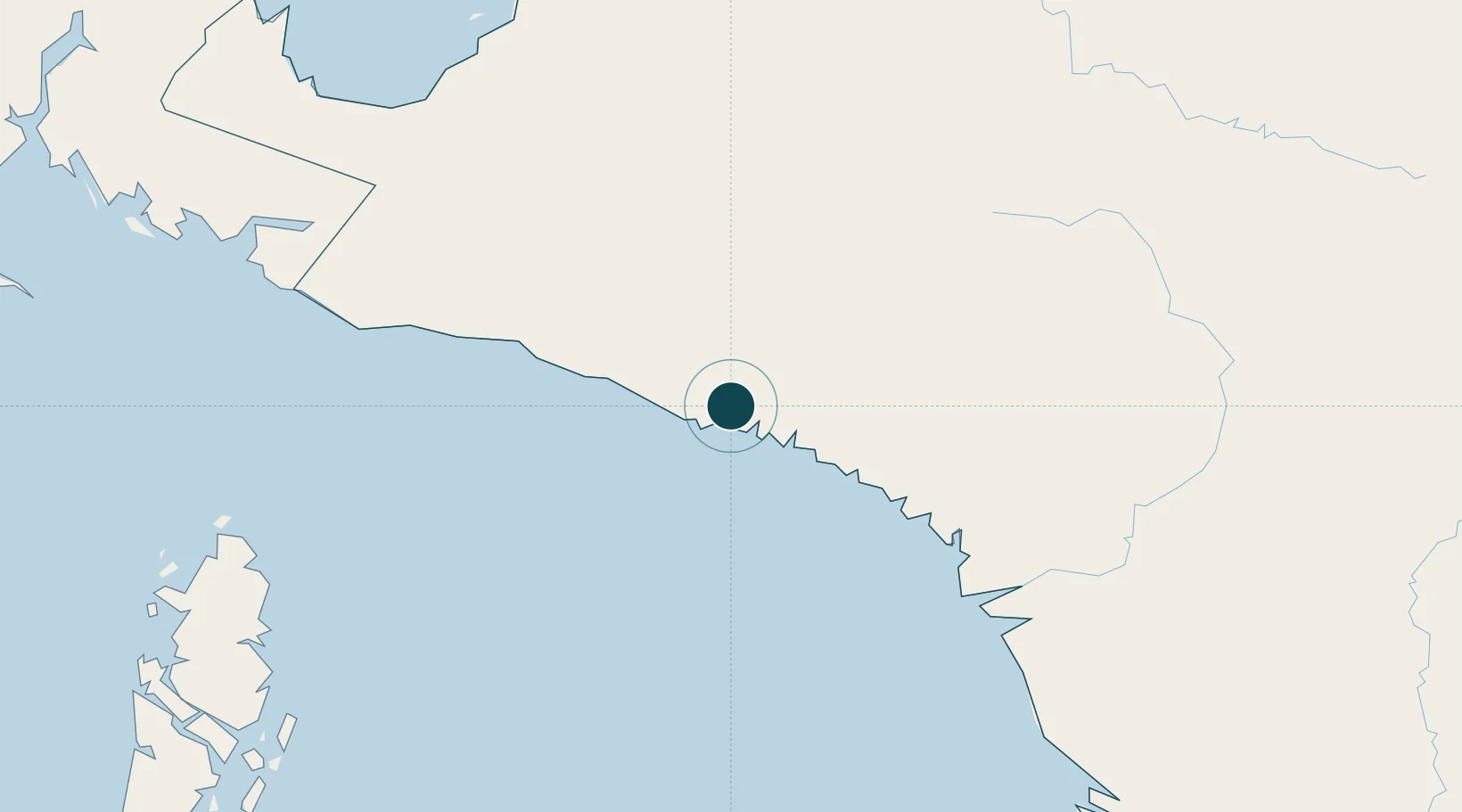
Location
Nearby Logistics Neighbours
Ports
- 1Vanimo520 km
- 2Manokwari Road544 km
- 3Merauke556 km
- 4Fakfak560 km
- 5Saumlaki718 km
Airports
- 1Mozes Kilangin Airport33 km
- 2Bilorai Airport120 km
- 3Bokondini Airport228 km
- 4Old Nabire Airport229 km
- 5Wamena Airport234 km
Trade Zones
- 1Western Province Special Economic Zone418 km
- 2Sandaun Special Economic Zone449 km
- 3Sepik Special Economic Zone525 km
- 4Vanimo Special Economic Zone534 km
- 5KEK Sorong762 km
DatabookThe Record of Consolidated Knowledge
Indonesia beyond logistics?