Small airport · Papua New Guinea
Obo AirportAYOB
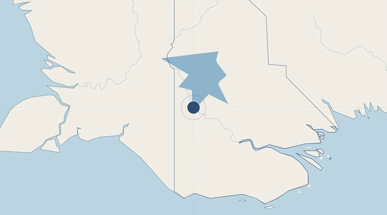
-7.5906°, 141.3243°
1,969 ft
Longest runway
1
Runways
29 ft
Elevation
Runway & Layout

Runways · 1
| Runway | Dimensions | Surface | True heading | Lit |
|---|---|---|---|---|
| 14/32 | 1,969 × 98ft | Grassed brown clay | — | — |
Airport Specifications
IATA code
OBX
ICAO code
AYOB
Airport class
Small airport
Scheduled service
Yes
Runway surface
Grassed brown clay
Served city
Obo
Location
Nearby Logistics Neighbours
Airports
- 1Bosset Airport46 km
- 2Lake Murray Airport67 km
- 3Mopah International Airport144 km
- 4Kiunga Airport163 km
- 5Sasereme Airport170 km
Cities
- 1Aiambak28 km
- 2Asike145 km
- 3Boigu Island211 km
- 4Kassue242 km
- 5Saibai245 km
Ports
- 1Merauke144 km
- 2Daru264 km
- 3Thursday Island347 km
- 4Kumul362 km
- 5Wewak Harbor515 km
Trade Zones
DatabookThe Record of Consolidated Knowledge
Papua New Guinea beyond logistics?