Large airport · Jordan

Queen Alia International AirportOJAI
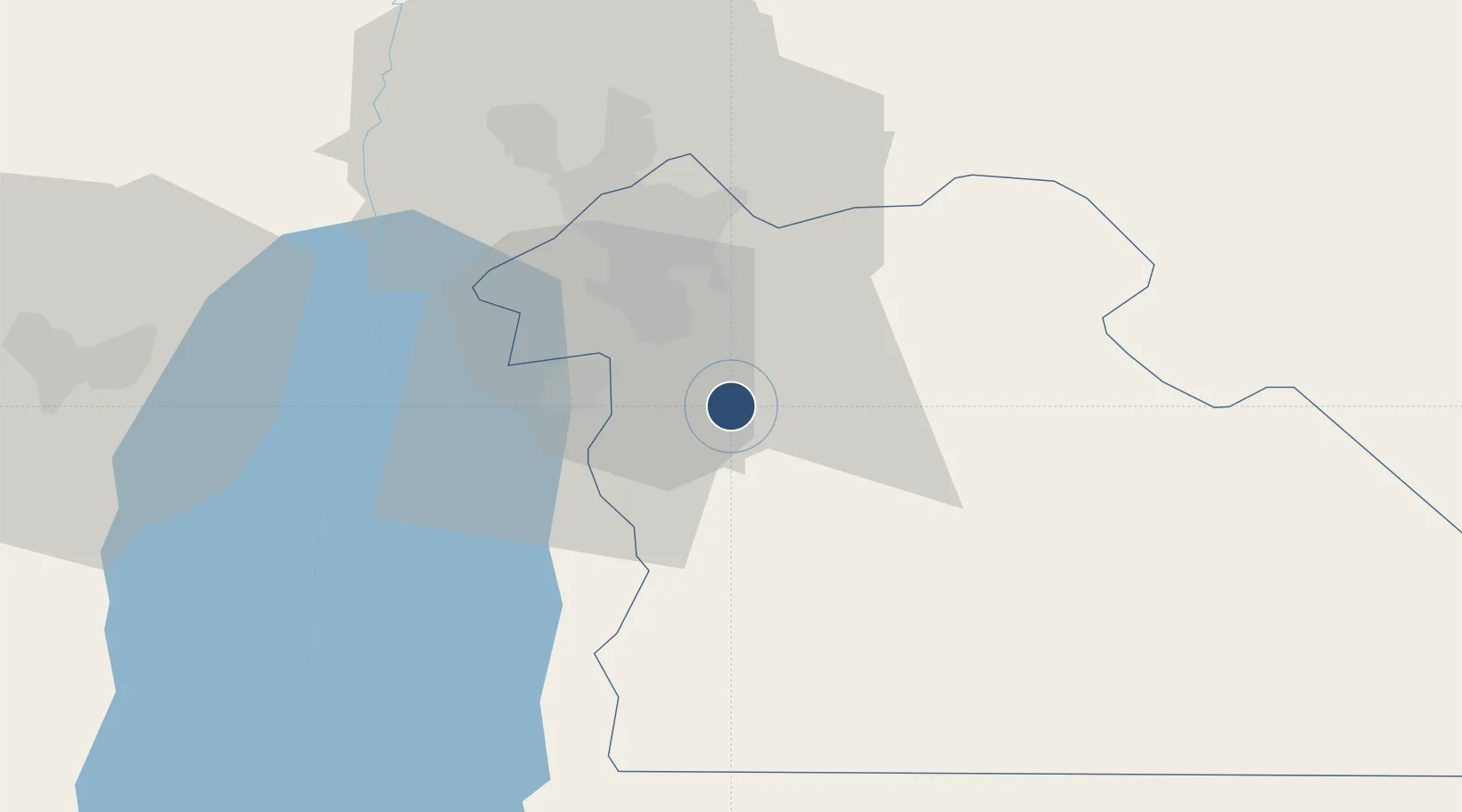
31.7226°, 35.9932°
12,008 ft
Longest runway
2
Runways
2,395 ft
Elevation

Runway & Layout

Queen Alia International Airport runway & taxiway layout
Runway & taxiway layout — OpenStreetMap (ODbL) / OurAirports

Radio Frequencies

ATIS
127.6 MHz
TWR
119.8 MHz
GND
121.9 MHz
APP
128.9 MHz
AMMAN APP
OurAirports

Navaids

MDB NDB Queen Alia 399 kHz
QA NDB Queen Alia 410 kHz
QAA VOR-DME Queen Alia 115.20 MHz
OurAirports

Runways · 2

RunwayDimensions SurfaceTrue headingLit
08L/26R 12,008 × 200ft Asphalt 081°
08R/26L 12,008 × 200ft Concrete 081°
OurAirports

Airport Specifications

IATA code
AMM
OurAirports
ICAO code
OJAI
OurAirports
Airport class
Large airport
OurAirports
Scheduled service
Yes
OurAirports
Runway surface
Asphalt
OurAirports
Served city
Amman
OurAirports

Location

Location of OJAI
Natural Earth 10m (public domain) · Amman · OJAI · 31.72, 35.99GoogleOSMYandex

Nearby Logistics Neighbours

Airports
  1. 1Marka International (Amman Civil) Airport28 km
  2. 2Bar Yehuda Airfield72 km
  3. 3Muwaffaq Salti Air Base75 km
  4. 4Nevatim Air Base109 km
  5. 5Ben Gurion International Airport109 km
Nearest neighbours — logibook spatial index (haversine) over the source coordinates
Cities
  1. 1Abu Alandah20 km
  2. 2Zarka Free Zone41 km
  3. 3Yeruham45 km
  4. 4Mishor Adumim64 km
  5. 5Qir Moav66 km
Nearest neighbours — logibook spatial index (haversine) over the source coordinates
Ports
  1. 1Ashdod127 km
  2. 2Hadera132 km
  3. 3Ashqelon141 km
  4. 4Haifa153 km
  5. 5Sayda207 km
Nearest neighbours — logibook spatial index (haversine) over the source coordinates
Trade Zones
  1. 1Queen Alia International Airport Free Zone1 km
  2. 2Sahab Free Zone15 km
  3. 3Abdullah II Ibn al-Hussein Industrial Estate15 km
  4. 4Dead Sea Development Zone22 km
  5. 5Madaba Development Zone22 km
Nearest neighbours — logibook spatial index (haversine) over the source coordinates
DatabookThe Record of Consolidated Knowledge
Jordan beyond logistics?
Browse databook

All Sources

AirportsOurAirports
Public domain
Portsthe NGA World Port Index
Public domain (US gov)
LocationsUN/LOCODE
UN/LOCODE — free
Trade Zonesthe World Bank SEZ database
CC BY 4.0
Trade ZonesOpen Zone Map
CC BY
InfrastructureOpenStreetMap
ODbL 1.0
← Jordan airports