UN/LOCODE hub · Israel
ILAS2

Mishor Adumim

31.7833°, 35.3167°
2
Transport functions

Transport Functions

Port
Multimodal
UN/LOCODE

Hub Profile

Region
M
GeoNames

Location

Location of ILAS2
Natural Earth 10m (public domain) · M · ILAS2 · 31.78, 35.32GoogleOSMYandex

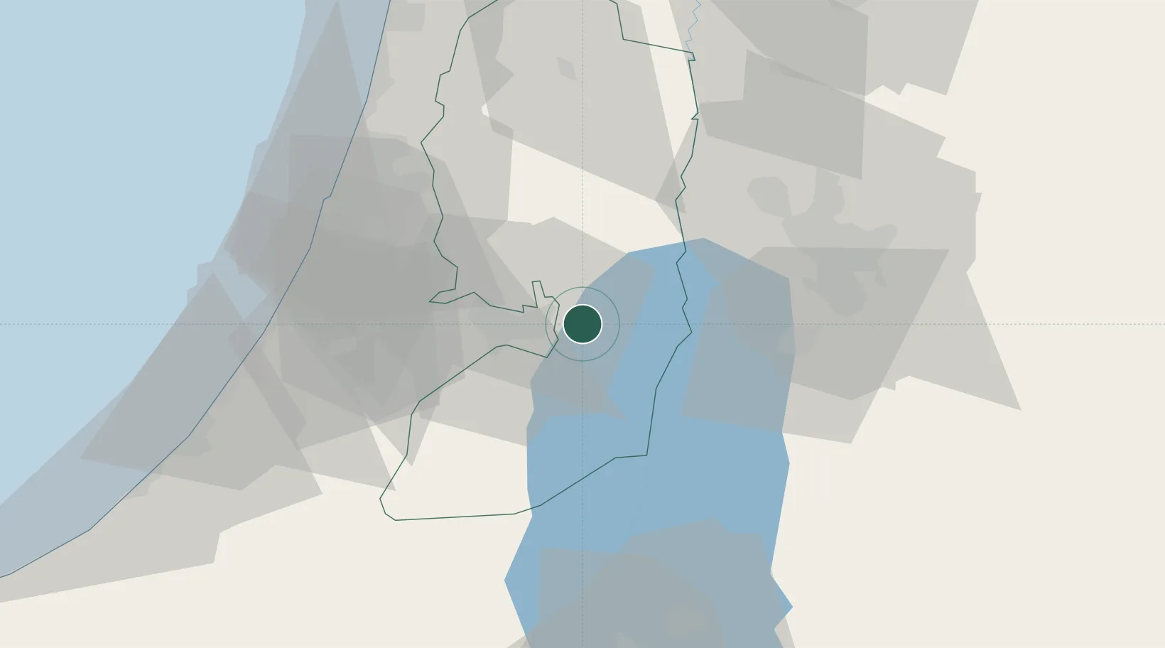
Nearby Logistics Neighbours

Cities
  1. 1Beit Jala16 km
  2. 2Ofra20 km
  3. 3Yeruham26 km
  4. 4Ayalon Valley29 km
  5. 5Post Offoce Modi'In33 km
Nearest neighbours — logibook spatial index (haversine) over the source coordinates
Ports
  1. 1Ashdod63 km
  2. 2Ashqelon78 km
  3. 3Hadera86 km
  4. 4Haifa119 km
  5. 5Al Arish157 km
Nearest neighbours — logibook spatial index (haversine) over the source coordinates
Airports
  1. 1Tel Nof Air Base47 km
  2. 2Ben Gurion International Airport48 km
  3. 3Bar Yehuda Airfield51 km
  4. 4Queen Alia International Airport64 km
  5. 5Marka International (Amman Civil) Airport67 km
Nearest neighbours — logibook spatial index (haversine) over the source coordinates
Trade Zones
  1. 1Bethlehem Industrial Estate -BIE14 km
  2. 2Jericho Argo- Industrial Park (JAIP)15 km
  3. 3Al-Karama Free Zone31 km
  4. 4Al-Salt Development Zone42 km
  5. 5Dead Sea Development Zone43 km
Nearest neighbours — logibook spatial index (haversine) over the source coordinates
DatabookThe Record of Consolidated Knowledge
Israel beyond logistics?
Browse databook

All Sources

LocationsUN/LOCODE
UN/LOCODE — free
Portsthe NGA World Port Index
Public domain (US gov)
AirportsOurAirports
Public domain
Trade Zonesthe World Bank SEZ database
CC BY 4.0
Trade ZonesOpen Zone Map
CC BY
← Israel locations