Channel & Berth Profile
Pilotage, Tugs & Services
Pilotage compulsoryYES
Pilotage availableYES
Pilotage advisableYES
Local assistanceYES
Tug assistanceYES
Salvage tugsYES
Shore powerYES
Potable waterNO
Diesel bunkersNO
MedicalYES
Garbage disposalNO
Facilities & Capabilities
ContainerNO
Ro-RoYES
Liquid bulkNO
Dry bulkYES
Oil terminalNO
Break bulkYES
Dry dock—
Repairs—
BunkeringNO
Rail linkYES
Dangerous cargo—
ISPS securityYES
Harbour Specifications
Harbour size
Medium
Harbour type
Coastal (Breakwater)
Shelter
Excellent
Water body
Mediterranean Sea; North Atlantic Ocean
Tidal range
0.5 m
Overhead limit
No
Pilotage
Yes
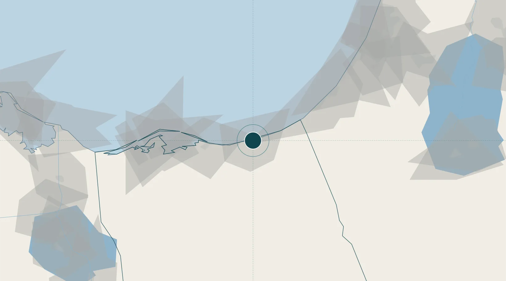
Location
Nearby Logistics Neighbours
Ports
- 1Ashqelon86 km
- 2Ashdod107 km
- 3Bur Sa'id146 km
- 4El Ismailiya161 km
- 5Hadera178 km
Cities
- 1Kerem Shalom43 km
- 2Julis98 km
- 3Ashdod Logisticare106 km
- 4Ashdod Bonded Air107 km
- 5Ashdod Fridenson107 km
Airports
- 1El Arish International Airport11 km
- 2El Jora Airport32 km
- 3Ramon Air Base90 km
- 4Bardawil International Airport105 km
- 5Nevatim Air Base113 km
Trade Zones
DatabookThe Record of Consolidated Knowledge
Egypt beyond logistics?