UN/LOCODE hub · Palestinian Territories
PSBJA

Beit Jala

31.7000°, 35.1833°
1
Transport functions

Transport Functions

Multimodal
UN/LOCODE

Location

Location of PSBJA
Natural Earth 10m (public domain) · West Bank · PSBJA · 31.70, 35.18GoogleOSMYandex

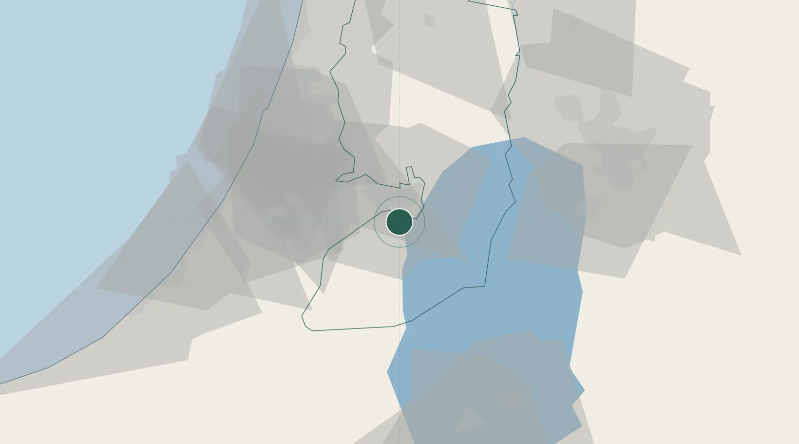
Nearby Logistics Neighbours

Cities
  1. 1Mishor Adumim16 km
  2. 2Ayalon Valley22 km
  3. 3Post Offoce Modi'In28 km
  4. 4Ofra29 km
  5. 5Karmei Yosef29 km
Nearest neighbours — logibook spatial index (haversine) over the source coordinates
Ports
  1. 1Ashdod52 km
  2. 2Ashqelon65 km
  3. 3Hadera89 km
  4. 4Haifa125 km
  5. 5Al Arish142 km
Nearest neighbours — logibook spatial index (haversine) over the source coordinates
Airports
  1. 1Tel Nof Air Base38 km
  2. 2Ben Gurion International Airport45 km
  3. 3Bar Yehuda Airfield46 km
  4. 4Nevatim Air Base57 km
  5. 5Queen Alia International Airport77 km
Nearest neighbours — logibook spatial index (haversine) over the source coordinates
Trade Zones
  1. 1Bethlehem Industrial Estate -BIE2 km
  2. 2Jericho Argo- Industrial Park (JAIP)31 km
  3. 3Al-Karama Free Zone46 km
  4. 4Dead Sea Development Zone55 km
  5. 5Madaba Development Zone55 km
Nearest neighbours — logibook spatial index (haversine) over the source coordinates
DatabookThe Record of Consolidated Knowledge
Palestinian Territories beyond logistics?
Browse databook

All Sources

LocationsUN/LOCODE
UN/LOCODE — free
Portsthe NGA World Port Index
Public domain (US gov)
AirportsOurAirports
Public domain
Trade Zonesthe World Bank SEZ database
CC BY 4.0
Trade ZonesOpen Zone Map
CC BY
← Palestinian Territories locations