Diversified Zone · Jordan

Madaba Development Zone Under Development
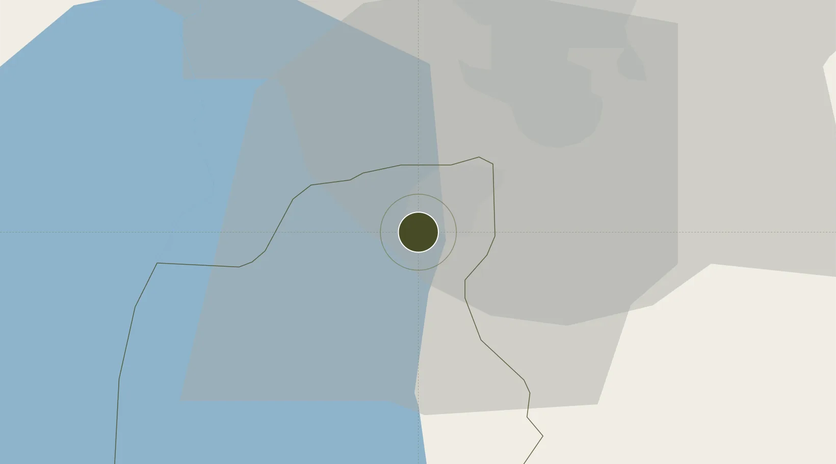
31.7158°, 35.7634°
50 ha
Zone area
105.9 km
Nearest port
21.8 km
Nearest airport

Gateway access

Nearest neighbours — logibook spatial index (haversine) over the source coordinates

Zone profile

Zone type
Diversified Zone
Open Zone Map
Region
Madaba
Open Zone Map
Status
Under Development
Open Zone Map
Management
Public
Open Zone Map
Operator
Jordan Investment Commission
Open Zone Map
Legal framework
The Investment Law No. (30) of 2014.
Open Zone Map

Location

Location of ozm-2616
Natural Earth 10m (public domain) · Madaba · ozm-2616 · 31.72, 35.76GoogleOSMYandex

Nearby Logistics Neighbours

Ports
  1. 1Ashdod106 km
  2. 2Hadera117 km
  3. 3Ashqelon120 km
  4. 4Haifa142 km
  5. 5Al Arish194 km
Nearest neighbours — logibook spatial index (haversine) over the source coordinates
Airports
  1. 1Queen Alia International Airport22 km
  2. 2Marka International (Amman Civil) Airport36 km
  3. 3Bar Yehuda Airfield56 km
  4. 4Ben Gurion International Airport89 km
  5. 5Tel Nof Air Base90 km
Nearest neighbours — logibook spatial index (haversine) over the source coordinates
Cities
  1. 1Yeruham24 km
  2. 2Abu Alandah28 km
  3. 3Mishor Adumim43 km
  4. 4Zarka Free Zone52 km
  5. 5Beit Jala55 km
Nearest neighbours — logibook spatial index (haversine) over the source coordinates
Trade Zones
  1. 1Dead Sea Development Zone0 km
  2. 2Queen Alia International Airport Free Zone21 km
  3. 3Abdullah II Ibn al-Hussein Industrial Estate25 km
  4. 4Sahab Free Zone28 km
  5. 5Al Thuraya Development Zone29 km
Nearest neighbours — logibook spatial index (haversine) over the source coordinates
DatabookThe Record of Consolidated Knowledge
Jordan beyond logistics?
Browse databook

All Sources

Trade ZonesOpen Zone Map
CC BY
Portsthe NGA World Port Index
Public domain (US gov)
AirportsOurAirports
Public domain
LocationsUN/LOCODE
UN/LOCODE — free
← Jordan trade zones