Medium airport · Israel

Bar Yehuda AirfieldLLMZ

31.3282°, 35.3886°
3,937 ft
Longest runway
1
Runways
-1,266 ft
Elevation

Runway & Layout

Bar Yehuda Airfield runway & taxiway layout
Runway & taxiway layout — OpenStreetMap (ODbL) / OurAirports

Radio Frequencies

APP
120.9 MHz
TEL AVIV APP
OurAirports

Navaids

MZD VOR-DME Metzada 115.00 MHz
OurAirports

Runways · 1

RunwayDimensions SurfaceTrue headingLit
01/19 3,937 × 98ft Asphalt 010°
OurAirports

Airport Specifications

IATA code
MTZ
OurAirports
ICAO code
LLMZ
OurAirports
Airport class
Medium airport
OurAirports
Scheduled service
No
OurAirports
Runway surface
Asphalt
OurAirports
Served city
Masada
OurAirports

Location

Location of LLMZ
Natural Earth 10m (public domain) · HaDarom · LLMZ · 31.33, 35.39GoogleOSMYandex

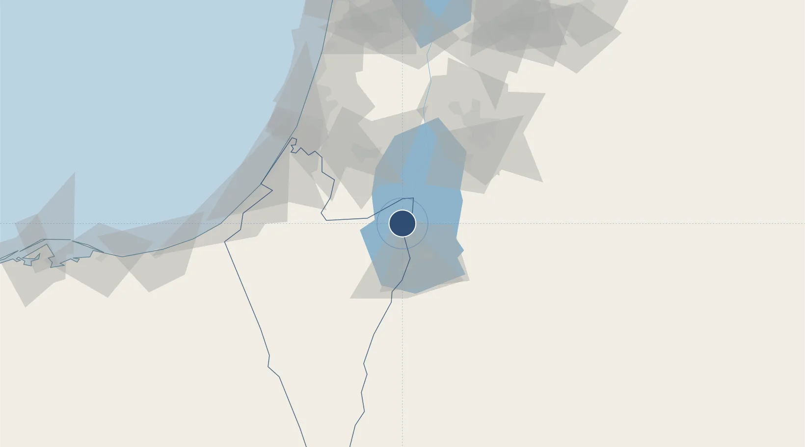
Nearby Logistics Neighbours

Airports
  1. 1Nevatim Air Base38 km
  2. 2Queen Alia International Airport72 km
  3. 3Tel Nof Air Base78 km
  4. 4Ben Gurion International Airport90 km
  5. 5Marka International (Amman Civil) Airport92 km
Nearest neighbours — logibook spatial index (haversine) over the source coordinates
Cities
  1. 1Arad19 km
  2. 2Mishor Rotem30 km
  3. 3Qir Moav34 km
  4. 4Yeruham37 km
  5. 5Beit Jala46 km
Nearest neighbours — logibook spatial index (haversine) over the source coordinates
Ports
  1. 1Ashdod89 km
  2. 2Ashqelon92 km
  3. 3Hadera135 km
  4. 4Al Arish149 km
  5. 5Haifa170 km
Nearest neighbours — logibook spatial index (haversine) over the source coordinates
Trade Zones
  1. 1Al-Karak Free Zone27 km
  2. 2Al-Karak Free Zone45 km
  3. 3Bethlehem Industrial Estate -BIE46 km
  4. 4Dead Sea Development Zone56 km
  5. 5Madaba Development Zone56 km
Nearest neighbours — logibook spatial index (haversine) over the source coordinates
DatabookThe Record of Consolidated Knowledge
Israel beyond logistics?
Browse databook

All Sources

AirportsOurAirports
Public domain
Portsthe NGA World Port Index
Public domain (US gov)
LocationsUN/LOCODE
UN/LOCODE — free
Trade Zonesthe World Bank SEZ database
CC BY 4.0
Trade ZonesOpen Zone Map
CC BY
InfrastructureOpenStreetMap
ODbL 1.0
← Israel airports