About
Methodology
Sources
Licensing
English
EN
English
TR
Türkçe
DE
Deutsch
FR
Français
ES
Español
IT
Italiano
PT
Português
NL
Nederlands
PL
Polski
RU
Русский
UK
Українська
CS
Čeština
RO
Română
EL
Ελληνικά
BG
Български
AR
العربية
FA
فارسی
UR
اردو
HI
हिन्दी
BN
বাংলা
ID
Bahasa Indonesia
VI
Tiếng Việt
ZH
中文
JA
日本語
KO
한국어
logibook
/
Countries
/
Israel
/
Locations
/
Yeruham
UN/LOCODE hub ·
Israel
IL
YAM
Yeruham
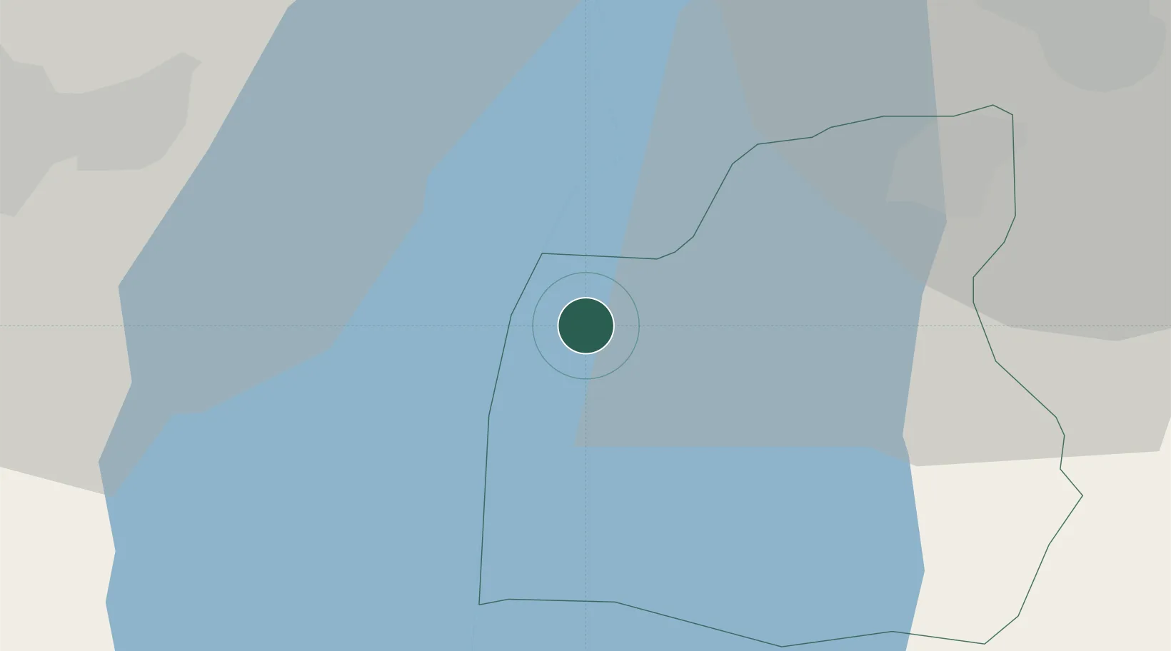
31.6333°, 35.5333°
1
Transport functions
Transport Functions
Multimodal
UN/LOCODE
Location
Natural Earth 10m (public domain) · Madaba · ILYAM · 31.63, 35.53
Google ↗
OSM ↗
Yandex ↗
Nearby Logistics Neighbours
Cities
1
Mishor Adumim
26 km
2
Beit Jala
34 km
3
Ofra
44 km
4
Abu Alandah
51 km
5
Arad
52 km
Nearest neighbours — logibook spatial index (haversine) over the source coordinates
Ports
1
Ashdod
86 km
2
Ashqelon
98 km
3
Hadera
110 km
4
Haifa
141 km
5
Al Arish
170 km
Nearest neighbours — logibook spatial index (haversine) over the source coordinates
Airports
1
Bar Yehuda Airfield
37 km
2
Queen Alia International Airport
45 km
3
Marka International (Amman Civil) Airport
57 km
4
Nevatim Air Base
68 km
5
Tel Nof Air Base
71 km
Nearest neighbours — logibook spatial index (haversine) over the source coordinates
Trade Zones
1
Dead Sea Development Zone
24 km
2
Madaba Development Zone
24 km
3
Jericho Argo- Industrial Park (JAIP)
26 km
4
Bethlehem Industrial Estate -BIE
33 km
5
Al-Karama Free Zone
36 km
Nearest neighbours — logibook spatial index (haversine) over the source coordinates
Data
book
The Record of Consolidated Knowledge
Israel beyond logistics?
Browse databook
→
All Sources
Locations
UN/LOCODE
UN/LOCODE — free
↗
Ports
the NGA World Port Index
Public domain (US gov)
↗
Airports
OurAirports
Public domain
↗
Trade Zones
the World Bank SEZ database
CC BY 4.0
↗
Trade Zones
Open Zone Map
CC BY
↗
← Israel locations