UN/LOCODE hub · Israel
ILALV

Ayalon Valley

31.8333°, 35.0167°
2
Transport functions

Transport Functions

Rail
Road
UN/LOCODE

Hub Profile

Region
JM
GeoNames

Location

Location of ILALV
Natural Earth 10m (public domain) · JM · ILALV · 31.83, 35.02GoogleOSMYandex

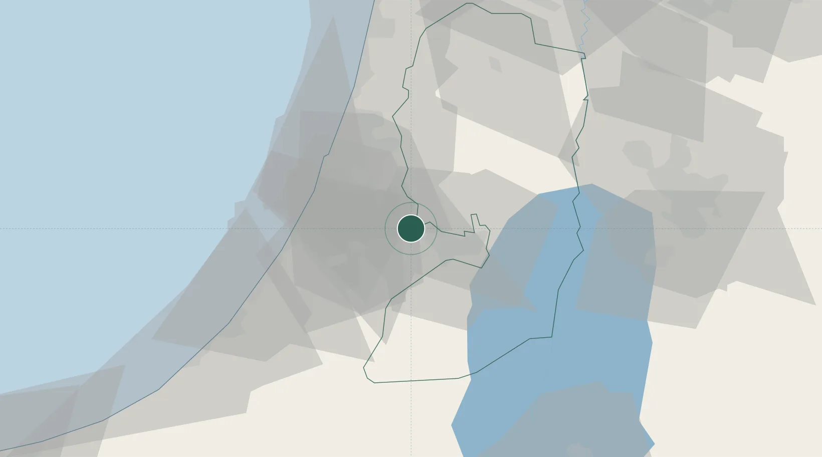
Nearby Logistics Neighbours

Cities
  1. 1Post Offoce Modi'In8 km
  2. 2Karmei Yosef9 km
  3. 3Lod Overseas18 km
  4. 4Post Office Lod18 km
  5. 5Swissport Cargo ICD/Lod18 km
Nearest neighbours — logibook spatial index (haversine) over the source coordinates
Ports
  1. 1Ashdod35 km
  2. 2Ashqelon52 km
  3. 3Hadera71 km
  4. 4Haifa109 km
  5. 5Al Arish136 km
Nearest neighbours — logibook spatial index (haversine) over the source coordinates
Airports
  1. 1Tel Nof Air Base18 km
  2. 2Ben Gurion International Airport23 km
  3. 3Bar Yehuda Airfield66 km
  4. 4Nevatim Air Base70 km
  5. 5Queen Alia International Airport93 km
Nearest neighbours — logibook spatial index (haversine) over the source coordinates
Trade Zones
  1. 1Bethlehem Industrial Estate -BIE22 km
  2. 2Jericho Argo- Industrial Park (JAIP)41 km
  3. 3Al-Karama Free Zone54 km
  4. 4Al-Salt Development Zone64 km
  5. 5Gaza Industrial Estate (GIE)65 km
Nearest neighbours — logibook spatial index (haversine) over the source coordinates
DatabookThe Record of Consolidated Knowledge
Israel beyond logistics?
Browse databook

All Sources

LocationsUN/LOCODE
UN/LOCODE — free
Portsthe NGA World Port Index
Public domain (US gov)
AirportsOurAirports
Public domain
Trade Zonesthe World Bank SEZ database
CC BY 4.0
Trade ZonesOpen Zone Map
CC BY
← Israel locations