Medium airport · Israel

Nevatim Air BaseLLNV
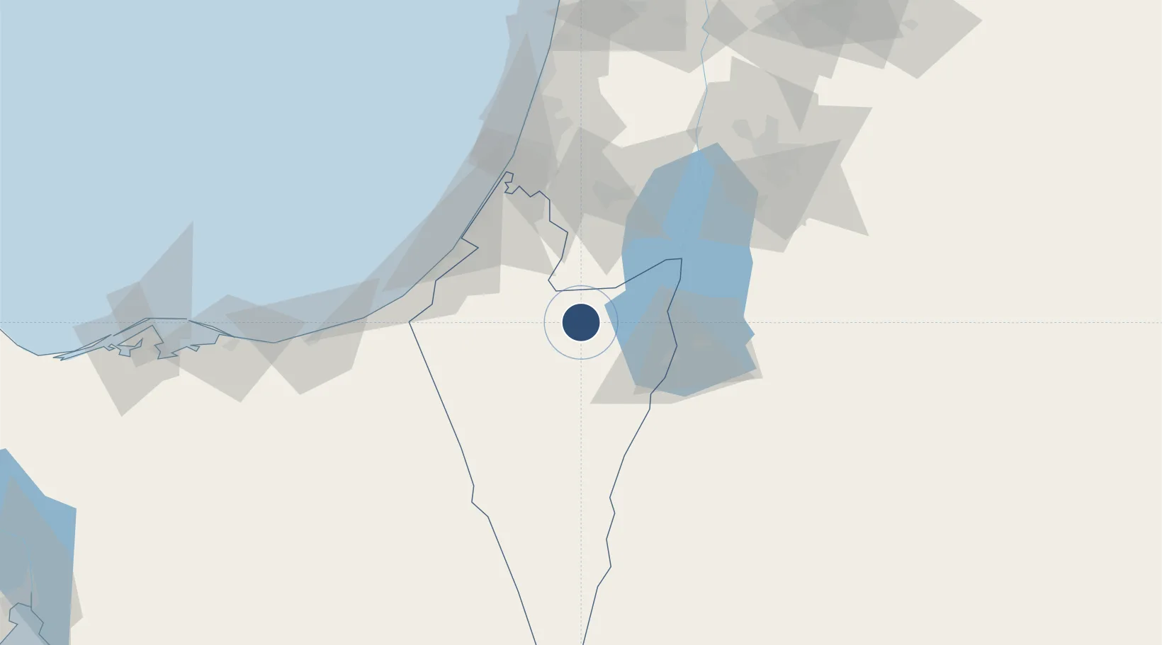
31.2083°, 35.0123°
10,991 ft
Longest runway
4
Runways
1,330 ft
Elevation

Runway & Layout

Nevatim Air Base runway & taxiway layout
Runway & taxiway layout — OpenStreetMap (ODbL) / OurAirports

Radio Frequencies

APP
120.9 MHz
TEL AVIV APP
OurAirports

Runways · 4

RunwayDimensions SurfaceTrue headingLit
08C/26C 10,991 × 147ft Asphalt 077°
08L/26R 8,530 × 147ft Asphalt 077°
08R/26L 8,395 × 70ft Asphalt 077°
15/33 2,806 × 70ft Asphalt 147°
OurAirports

Airport Specifications

IATA code
VTM
OurAirports
ICAO code
LLNV
OurAirports
Airport class
Medium airport
OurAirports
Scheduled service
No
OurAirports
Runway surface
Asphalt
OurAirports
Served city
Beersheba
OurAirports

Location

Location of LLNV
Natural Earth 10m (public domain) · HaDarom · LLNV · 31.21, 35.01GoogleOSMYandex

Nearby Logistics Neighbours

Airports
  1. 1Bar Yehuda Airfield38 km
  2. 2Ramon Air Base58 km
  3. 3Tel Nof Air Base73 km
  4. 4El Jora Airport83 km
  5. 5Ben Gurion International Airport90 km
Nearest neighbours — logibook spatial index (haversine) over the source coordinates
Cities
  1. 1Arad20 km
  2. 2Mishor Rotem28 km
  3. 3Beit Jala57 km
  4. 4Julis63 km
  5. 5Qir Moav66 km
Nearest neighbours — logibook spatial index (haversine) over the source coordinates
Ports
  1. 1Ashqelon70 km
  2. 2Ashdod76 km
  3. 3Al Arish113 km
  4. 4Hadera140 km
  5. 5Haifa179 km
Nearest neighbours — logibook spatial index (haversine) over the source coordinates
Trade Zones
  1. 1Bethlehem Industrial Estate -BIE58 km
  2. 2Al-Karak Free Zone58 km
  3. 3Gaza Industrial Estate (GIE)59 km
  4. 4Al Tafilah Development Zone66 km
  5. 5Al-Karak Free Zone79 km
Nearest neighbours — logibook spatial index (haversine) over the source coordinates
DatabookThe Record of Consolidated Knowledge
Israel beyond logistics?
Browse databook

All Sources

AirportsOurAirports
Public domain
Portsthe NGA World Port Index
Public domain (US gov)
LocationsUN/LOCODE
UN/LOCODE — free
Trade Zonesthe World Bank SEZ database
CC BY 4.0
Trade ZonesOpen Zone Map
CC BY
InfrastructureOpenStreetMap
ODbL 1.0
← Israel airports