UN/LOCODE hub · Israel
ILPSM

Post Offoce Modi'In

31.9000°, 35.0000°
1
Transport functions

Transport Functions

Multimodal
UN/LOCODE

Hub Profile

Region
TA
GeoNames

Location

Location of ILPSM
Natural Earth 10m (public domain) · TA · ILPSM · 31.90, 35.00GoogleOSMYandex

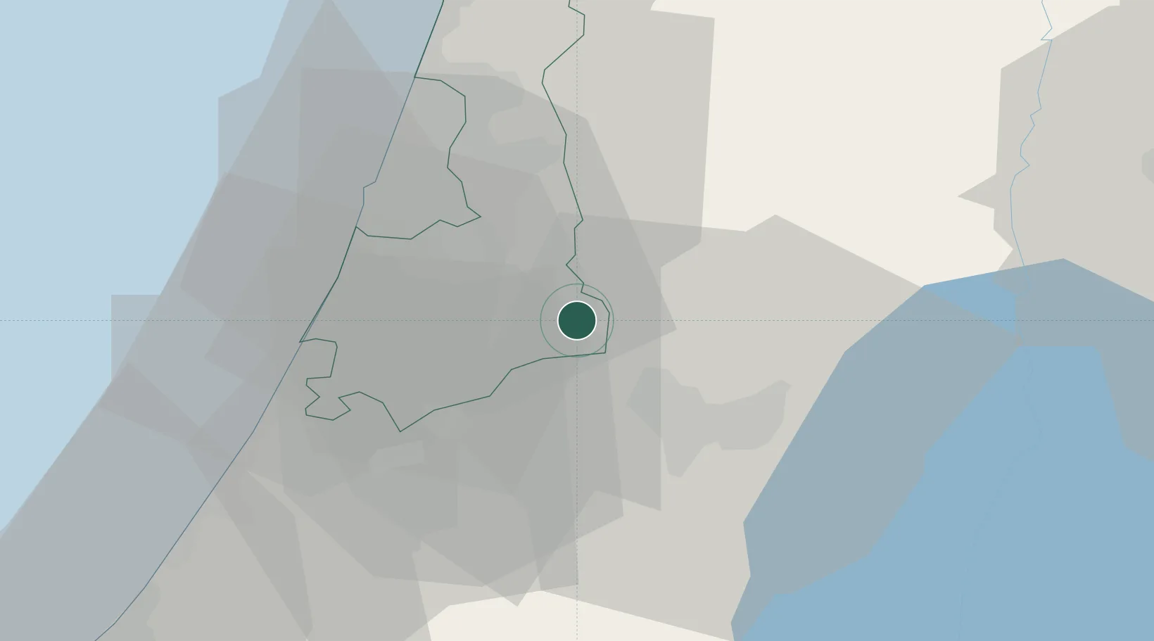
Nearby Logistics Neighbours

Cities
  1. 1Ayalon Valley8 km
  2. 2Karmei Yosef11 km
  3. 3Kokhav Yair-Tzur Yigal11 km
  4. 4Lod Overseas12 km
  5. 5Post Office Lod12 km
Nearest neighbours — logibook spatial index (haversine) over the source coordinates
Ports
  1. 1Ashdod34 km
  2. 2Ashqelon54 km
  3. 3Hadera64 km
  4. 4Haifa102 km
  5. 5Al Arish139 km
Nearest neighbours — logibook spatial index (haversine) over the source coordinates
Airports
  1. 1Ben Gurion International Airport16 km
  2. 2Tel Nof Air Base18 km
  3. 3Bar Yehuda Airfield74 km
  4. 4Nevatim Air Base77 km
  5. 5Ramat David Air Base87 km
Nearest neighbours — logibook spatial index (haversine) over the source coordinates
Trade Zones
  1. 1Bethlehem Industrial Estate -BIE29 km
  2. 2Jericho Argo- Industrial Park (JAIP)42 km
  3. 3Al-Karama Free Zone54 km
  4. 4Al-Salt Development Zone64 km
  5. 5Jenin Industrial Free Zone (JIFZ)68 km
Nearest neighbours — logibook spatial index (haversine) over the source coordinates
DatabookThe Record of Consolidated Knowledge
Israel beyond logistics?
Browse databook

All Sources

LocationsUN/LOCODE
UN/LOCODE — free
Portsthe NGA World Port Index
Public domain (US gov)
AirportsOurAirports
Public domain
Trade Zonesthe World Bank SEZ database
CC BY 4.0
Trade ZonesOpen Zone Map
CC BY
← Israel locations