Free Trade Zone · Oman
Sohar Free Zone Active
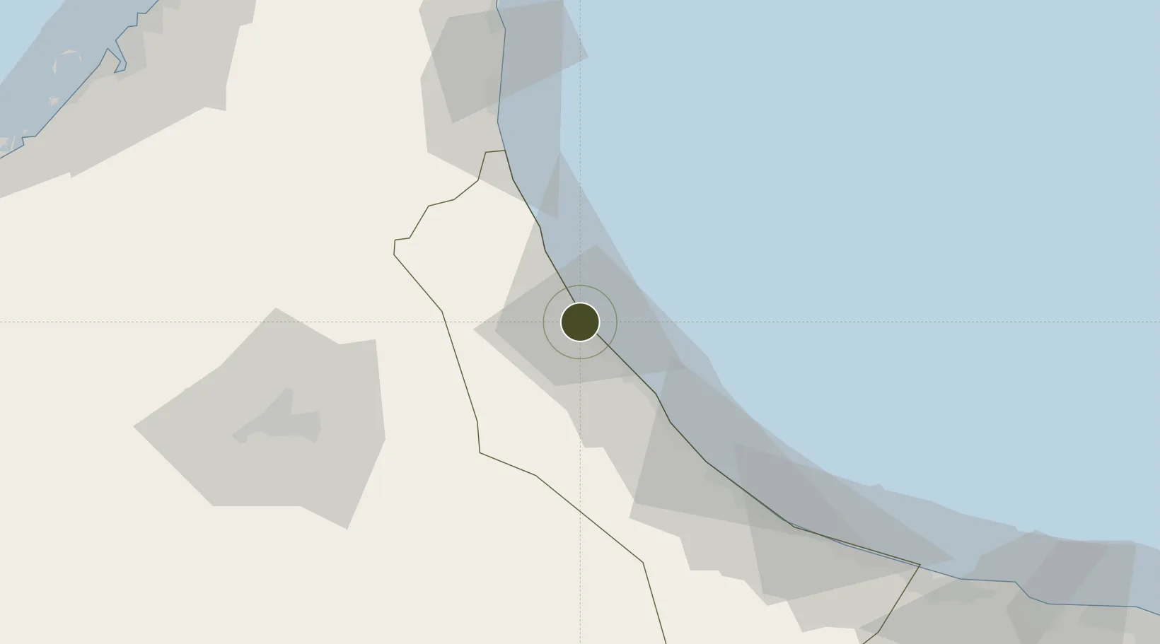
24.5022°, 56.5909°
4,500 ha
Zone area
4.6 km
Nearest port
13.4 km
Nearest airport
Gateway access
Zone profile
Zone type
Free Trade Zone
Region
Al Batnah North
Status
Active
Management
Public-Private Partnership
Operator
SOHAR Industrial Port Company
Legal framework
The Royal Decree 56/2002, The Royal Decree 80/2002
Location
Nearby Logistics Neighbours
Ports
- 1Port Of Sohar5 km
- 2Khawr Fakkan98 km
- 3Ajman155 km
- 4Al Hamriyah Lpg Terminal155 km
- 5Ash Shariqah155 km
Airports
- 1Suhar International Airport13 km
- 2Fujairah International Airport72 km
- 3Al Ain International Airport103 km
- 4Mussanah Airport132 km
- 5Al Minhad Air Base137 km
Cities
- 1Sohar1 km
- 2Shinas29 km
- 3Kalba67 km
- 4Al Fujayrah79 km
- 5Khor al Fakkan99 km
Trade Zones
- 1Fujairah Creative City74 km
- 2Fujairah Free Zone78 km
- 3Al Ain Industrial City108 km
- 4RAKEZ Al Ghail Industrial Zone118 km
- 5Sharjah Media City Free Zone (Shams)126 km
DatabookThe Record of Consolidated Knowledge
Oman beyond logistics?