Diversified Zone · Jordan

Al Thuraya Development Zone Active
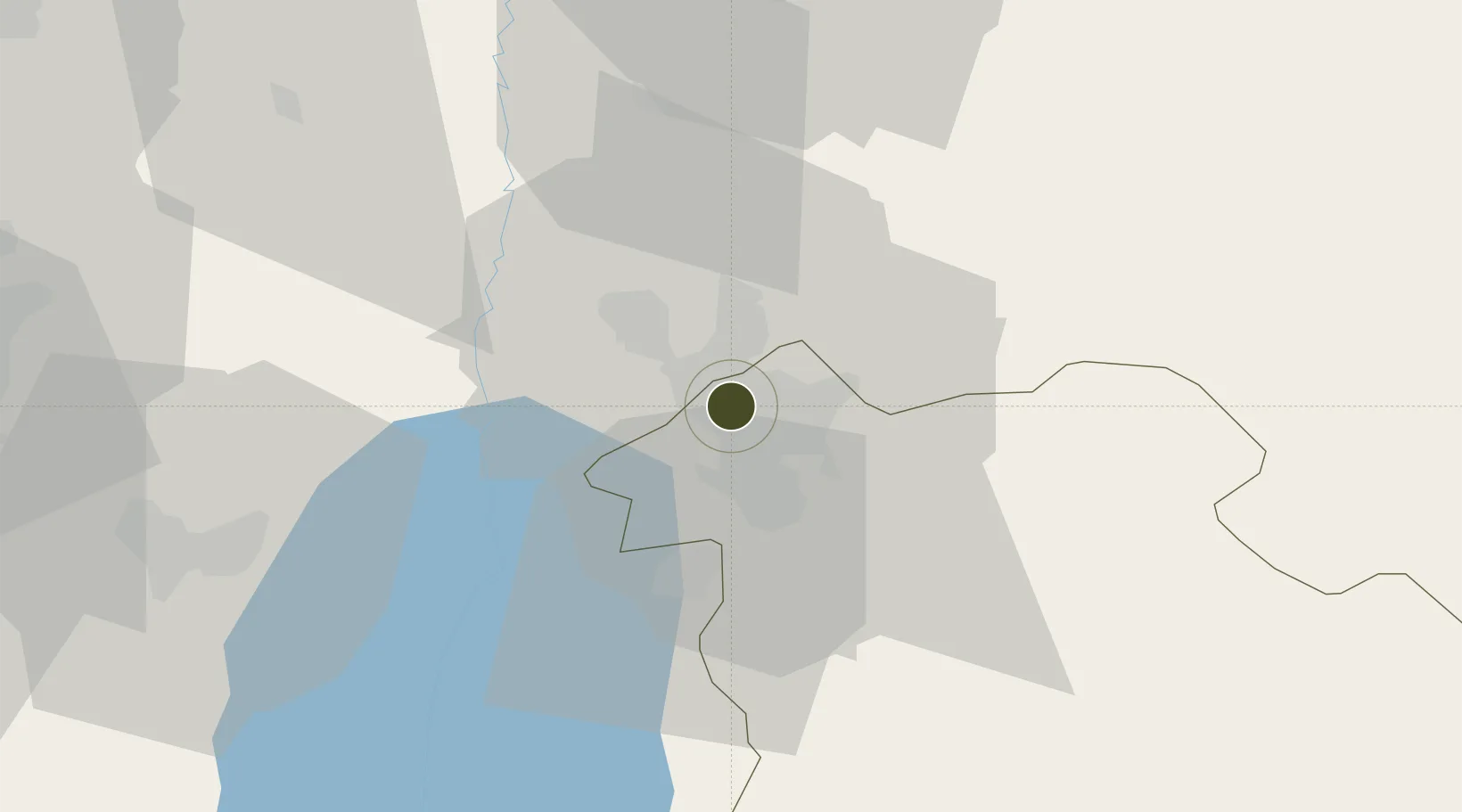
31.9616°, 35.8503°
92 ha
Zone area
105.6 km
Nearest port
13.4 km
Nearest airport

Gateway access

Nearest neighbours — logibook spatial index (haversine) over the source coordinates

Zone profile

Zone type
Diversified Zone
Open Zone Map
Region
Amman
Open Zone Map
Status
Active
Open Zone Map
Management
Public
Open Zone Map
Operator
Al Thuraya Real Estate Dev. Co
Open Zone Map
Legal framework
The Investment Law No. (30) of 2014.
Open Zone Map

Location

Location of ozm-2618
Natural Earth 10m (public domain) · Amman · ozm-2618 · 31.96, 35.85GoogleOSMYandex

Nearby Logistics Neighbours

Ports
  1. 1Hadera106 km
  2. 2Ashdod115 km
  3. 3Haifa124 km
  4. 4Ashqelon132 km
  5. 5Sayda177 km
Nearest neighbours — logibook spatial index (haversine) over the source coordinates
Airports
  1. 1Marka International (Amman Civil) Airport13 km
  2. 2Queen Alia International Airport30 km
  3. 3Bar Yehuda Airfield83 km
  4. 4Muwaffaq Salti Air Base89 km
  5. 5Ben Gurion International Airport91 km
Nearest neighbours — logibook spatial index (haversine) over the source coordinates
Cities
  1. 1Abu Alandah13 km
  2. 2Zarka Free Zone27 km
  3. 3Yeruham47 km
  4. 4Mishor Adumim54 km
  5. 5Ofra57 km
Nearest neighbours — logibook spatial index (haversine) over the source coordinates
Trade Zones
  1. 1King Hussein Business Park2 km
  2. 2Abdullah II Ibn al-Hussein Industrial Estate16 km
  3. 3Sahab Free Zone20 km
  4. 4Al-Salt Development Zone20 km
  5. 5Al-Karama Free Zone27 km
Nearest neighbours — logibook spatial index (haversine) over the source coordinates
DatabookThe Record of Consolidated Knowledge
Jordan beyond logistics?
Browse databook

All Sources

Trade ZonesOpen Zone Map
CC BY
Portsthe NGA World Port Index
Public domain (US gov)
AirportsOurAirports
Public domain
LocationsUN/LOCODE
UN/LOCODE — free
← Jordan trade zones