UN/LOCODE hub · Jordan
JODAH

Abu Alandah

31.9000°, 35.9667°
2
Transport functions

Transport Functions

Port
Multimodal
UN/LOCODE

Hub Profile

Region
AM
GeoNames

Location

Location of JODAH
Natural Earth 10m (public domain) · AM · JODAH · 31.90, 35.97GoogleOSMYandex

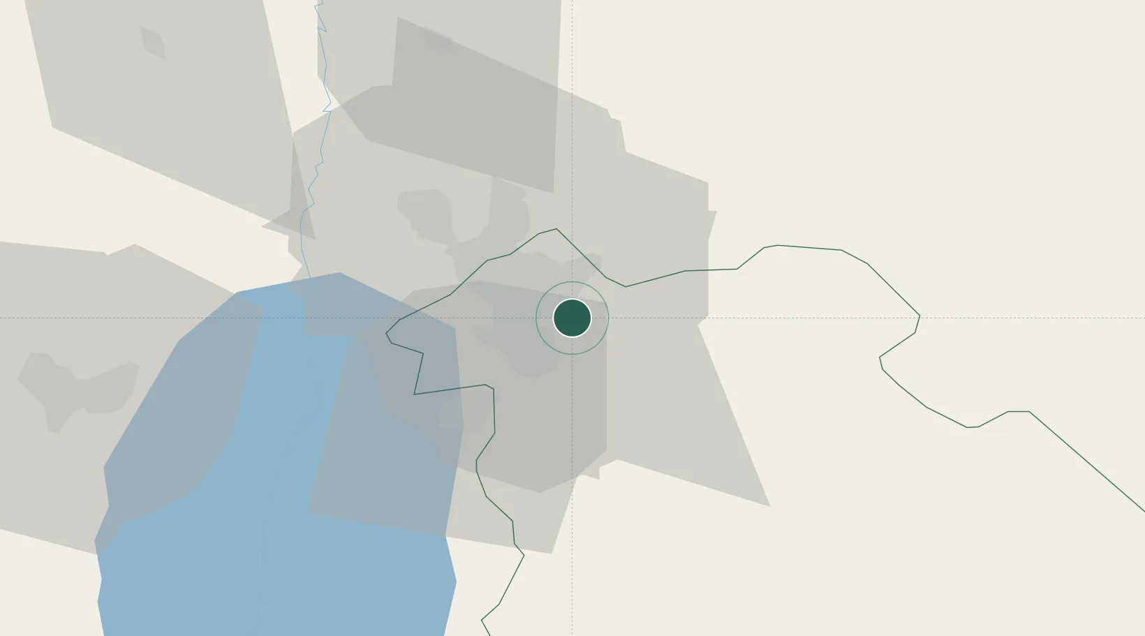
Nearby Logistics Neighbours

Cities
  1. 1Zarka Free Zone24 km
  2. 2Yeruham51 km
  3. 3Mishor Adumim63 km
  4. 4Ofra68 km
  5. 5Arava Terminal Zin75 km
Nearest neighbours — logibook spatial index (haversine) over the source coordinates
Ports
  1. 1Hadera119 km
  2. 2Ashdod125 km
  3. 3Haifa137 km
  4. 4Ashqelon141 km
  5. 5Sayda187 km
Nearest neighbours — logibook spatial index (haversine) over the source coordinates
Airports
  1. 1Marka International (Amman Civil) Airport8 km
  2. 2Queen Alia International Airport20 km
  3. 3Muwaffaq Salti Air Base77 km
  4. 4Bar Yehuda Airfield84 km
  5. 5Ben Gurion International Airport103 km
Nearest neighbours — logibook spatial index (haversine) over the source coordinates
Trade Zones
  1. 1Abdullah II Ibn al-Hussein Industrial Estate5 km
  2. 2Sahab Free Zone7 km
  3. 3Al Thuraya Development Zone13 km
  4. 4King Hussein Business Park15 km
  5. 5Queen Alia International Airport Free Zone20 km
Nearest neighbours — logibook spatial index (haversine) over the source coordinates
DatabookThe Record of Consolidated Knowledge
Jordan beyond logistics?
Browse databook

All Sources

LocationsUN/LOCODE
UN/LOCODE — free
Portsthe NGA World Port Index
Public domain (US gov)
AirportsOurAirports
Public domain
Trade Zonesthe World Bank SEZ database
CC BY 4.0
Trade ZonesOpen Zone Map
CC BY
← Jordan locations