Diversified Zone · Jordan

Abdullah II Ibn al-Hussein Industrial Estate Active
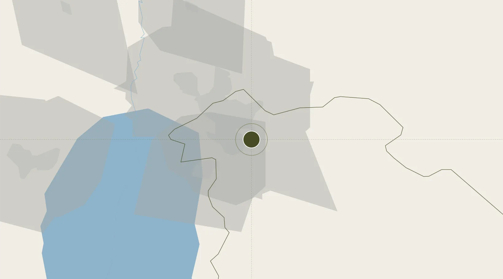
31.8590°, 35.9709°
253 ha
Zone area
121.4 km
Nearest port
12.8 km
Nearest airport

Gateway access

Nearest neighbours — logibook spatial index (haversine) over the source coordinates

Zone profile

Zone type
Diversified Zone
Open Zone Map
Region
Amman
Open Zone Map
Status
Active
Open Zone Map
Management
Public
Open Zone Map
Operator
Jordan Industrial Estates Corporation
Open Zone Map
Legal framework
The Investment Law No. (30) of 2014.
Open Zone Map

Location

Location of ozm-2624
Natural Earth 10m (public domain) · Amman · ozm-2624 · 31.86, 35.97GoogleOSMYandex

Nearby Logistics Neighbours

Ports
  1. 1Hadera121 km
  2. 2Ashdod125 km
  3. 3Haifa140 km
  4. 4Ashqelon141 km
  5. 5Sayda192 km
Nearest neighbours — logibook spatial index (haversine) over the source coordinates
Airports
  1. 1Marka International (Amman Civil) Airport13 km
  2. 2Queen Alia International Airport15 km
  3. 3Muwaffaq Salti Air Base77 km
  4. 4Bar Yehuda Airfield81 km
  5. 5Ben Gurion International Airport104 km
Nearest neighbours — logibook spatial index (haversine) over the source coordinates
Cities
  1. 1Abu Alandah5 km
  2. 2Zarka Free Zone28 km
  3. 3Yeruham48 km
  4. 4Mishor Adumim62 km
  5. 5Ofra69 km
Nearest neighbours — logibook spatial index (haversine) over the source coordinates
Trade Zones
  1. 1Sahab Free Zone4 km
  2. 2Queen Alia International Airport Free Zone15 km
  3. 3Al Thuraya Development Zone16 km
  4. 4King Hussein Business Park18 km
  5. 5Dead Sea Development Zone25 km
Nearest neighbours — logibook spatial index (haversine) over the source coordinates
DatabookThe Record of Consolidated Knowledge
Jordan beyond logistics?
Browse databook

All Sources

Trade ZonesOpen Zone Map
CC BY
Portsthe NGA World Port Index
Public domain (US gov)
AirportsOurAirports
Public domain
LocationsUN/LOCODE
UN/LOCODE — free
← Jordan trade zones