Export Processing Zone · Jordan

Queen Alia International Airport Free Zone Active
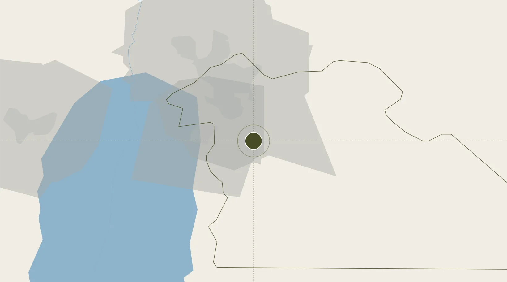
31.7222°, 35.9842°
12 ha
Zone area
126.6 km
Nearest port
0.8 km
Nearest airport

Gateway access

Nearest neighbours — logibook spatial index (haversine) over the source coordinates

Zone profile

Zone type
Export Processing Zone
Open Zone Map
Region
Amman
Open Zone Map
Status
Active
Open Zone Map
Management
Public
Open Zone Map
Operator
Jordan Investment Commission
Open Zone Map
Legal framework
The Investment Law No. (30) of 2014.
Open Zone Map

Location

Location of ozm-2632
Natural Earth 10m (public domain) · Amman · ozm-2632 · 31.72, 35.98GoogleOSMYandex

Nearby Logistics Neighbours

Ports
  1. 1Ashdod127 km
  2. 2Hadera132 km
  3. 3Ashqelon141 km
  4. 4Haifa153 km
  5. 5Sayda206 km
Nearest neighbours — logibook spatial index (haversine) over the source coordinates
Airports
  1. 1Queen Alia International Airport1 km
  2. 2Marka International (Amman Civil) Airport28 km
  3. 3Bar Yehuda Airfield72 km
  4. 4Muwaffaq Salti Air Base76 km
  5. 5Nevatim Air Base109 km
Nearest neighbours — logibook spatial index (haversine) over the source coordinates
Cities
  1. 1Abu Alandah20 km
  2. 2Zarka Free Zone42 km
  3. 3Yeruham44 km
  4. 4Mishor Adumim64 km
  5. 5Qir Moav66 km
Nearest neighbours — logibook spatial index (haversine) over the source coordinates
Trade Zones
  1. 1Sahab Free Zone15 km
  2. 2Abdullah II Ibn al-Hussein Industrial Estate15 km
  3. 3Dead Sea Development Zone21 km
  4. 4Madaba Development Zone21 km
  5. 5Al-Muwaqar Industrial Estate25 km
Nearest neighbours — logibook spatial index (haversine) over the source coordinates
DatabookThe Record of Consolidated Knowledge
Jordan beyond logistics?
Browse databook

All Sources

Trade ZonesOpen Zone Map
CC BY
Portsthe NGA World Port Index
Public domain (US gov)
AirportsOurAirports
Public domain
LocationsUN/LOCODE
UN/LOCODE — free
← Jordan trade zones