Free Zone · Jordan

Sahab Free Zone Active
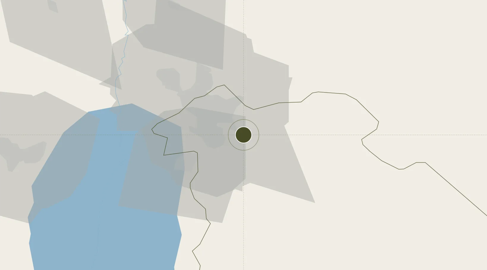
31.8535°, 36.0152°
6 ha
Zone area
125.2 km
Nearest port
13.4 km
Nearest airport

Gateway access

Nearest neighbours — logibook spatial index (haversine) over the source coordinates

Zone profile

Zone type
Free Zone
the World Bank SEZ database
Region
Amman
the World Bank SEZ database
Status
Active
the World Bank SEZ database
Established
1997
the World Bank SEZ database
Management
Public agency
the World Bank SEZ database
Operator
Free Zones Corporation
the World Bank SEZ database
Regulatory authority
Jordan Investment Commission (JIC)
the World Bank SEZ database
Legal framework
Investment Law No 30/2014, Investment Incentives Regulation No 33/2015
the World Bank SEZ database

Location

Location of JDN3
Natural Earth 10m (public domain) · Amman · JDN3 · 31.85, 36.02GoogleOSMYandex

Fiscal & incentives

Corporate tax
20%
the World Bank SEZ database
Tax relief
100% exempt
the World Bank SEZ database
Relief duration
Perpetual
the World Bank SEZ database
VAT
100% exempt from general sales tax
the World Bank SEZ database
Import duty (inputs)
100% exempt
the World Bank SEZ database
Import duty (capex)
100% exempt
the World Bank SEZ database
Profit repatriation
No exemption
the World Bank SEZ database
Capital gains
No exemption
the World Bank SEZ database
Withholding tax
No exemption
the World Bank SEZ database
Min. investment
None
the World Bank SEZ database
Min. export
0%
the World Bank SEZ database
Employment incentive
No exemption
the World Bank SEZ database
Developer incentive
Yes
the World Bank SEZ database

Nearby Logistics Neighbours

Ports
  1. 1Hadera125 km
  2. 2Ashdod129 km
  3. 3Haifa143 km
  4. 4Ashqelon145 km
  5. 5Sayda193 km
Nearest neighbours — logibook spatial index (haversine) over the source coordinates
Airports
  1. 1Marka International (Amman Civil) Airport13 km
  2. 2Queen Alia International Airport15 km
  3. 3Muwaffaq Salti Air Base73 km
  4. 4Bar Yehuda Airfield83 km
  5. 5Ben Gurion International Airport108 km
Nearest neighbours — logibook spatial index (haversine) over the source coordinates
Cities
  1. 1Abu Alandah7 km
  2. 2Zarka Free Zone27 km
  3. 3Yeruham52 km
  4. 4Mishor Adumim67 km
  5. 5Ofra73 km
Nearest neighbours — logibook spatial index (haversine) over the source coordinates
Trade Zones
  1. 1Abdullah II Ibn al-Hussein Industrial Estate4 km
  2. 2Queen Alia International Airport Free Zone15 km
  3. 3Al Thuraya Development Zone20 km
  4. 4King Hussein Business Park22 km
  5. 5Al-Muwaqar Industrial Estate22 km
Nearest neighbours — logibook spatial index (haversine) over the source coordinates
DatabookThe Record of Consolidated Knowledge
Jordan beyond logistics?
Browse databook

All Sources

Trade Zonesthe World Bank SEZ database
CC BY 4.0
Portsthe NGA World Port Index
Public domain (US gov)
AirportsOurAirports
Public domain
LocationsUN/LOCODE
UN/LOCODE — free
← Jordan trade zones