Industrial Estate · Indonesia

Safe N Lock Industrial Estate
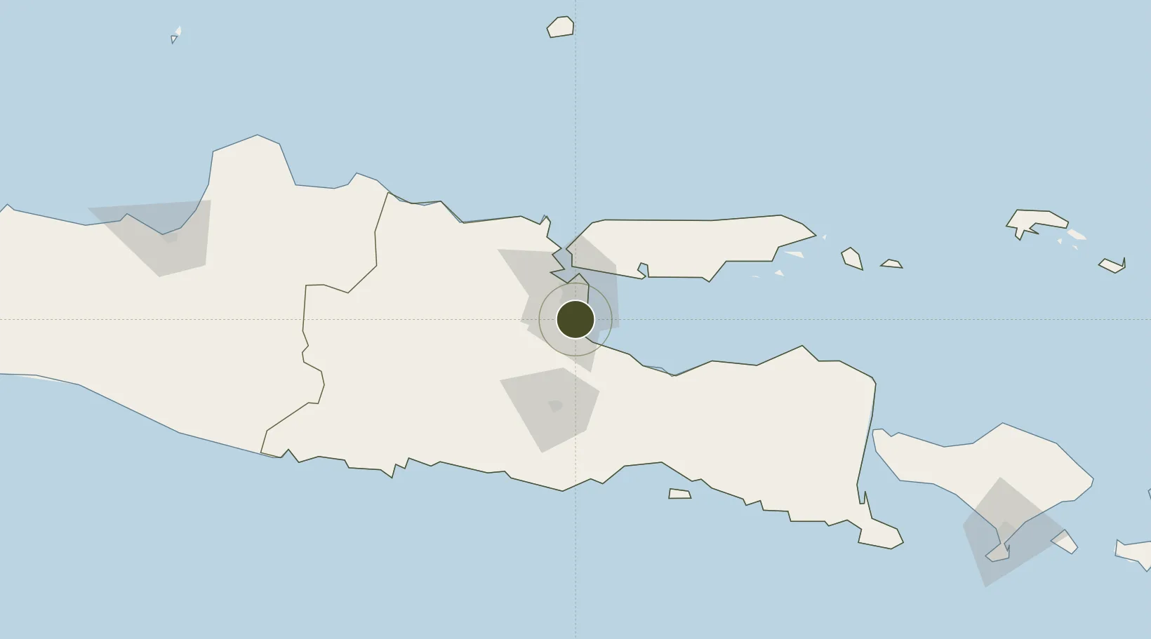
-7.4627°, 112.7472°
197 ha
Zone area
29.3 km
Nearest port
10.2 km
Nearest airport

Gateway access

Nearest neighbours — logibook spatial index (haversine) over the source coordinates

Zone profile

Zone type
Industrial Estate
the World Bank SEZ database
Region
Jawa Timur
the World Bank SEZ database
Established
Under review
the World Bank SEZ database
Management
Private management
the World Bank SEZ database
Operator
Safe N Lock
the World Bank SEZ database
Regulatory authority
Industrial Estate Authority of Indonesia*
the World Bank SEZ database
Legal framework
Government Regulation No 142/2015
the World Bank SEZ database

Location

Location of IDN14
Natural Earth 10m (public domain) · Jawa Timur · IDN14 · -7.46, 112.75GoogleOSMYandex

Fiscal & incentives

Corporate tax
25%
the World Bank SEZ database
Tax relief
Under review
the World Bank SEZ database
Relief duration
Under review
the World Bank SEZ database
VAT
Under review
the World Bank SEZ database
Import duty (inputs)
Under review
the World Bank SEZ database
Import duty (capex)
Under review
the World Bank SEZ database
Profit repatriation
Under review
the World Bank SEZ database
Capital gains
Under review
the World Bank SEZ database
Withholding tax
Under review
the World Bank SEZ database
Min. investment
None
the World Bank SEZ database
Min. export
0%
the World Bank SEZ database
Employment incentive
Under review
the World Bank SEZ database
Developer incentive
No established framework
the World Bank SEZ database

Nearby Logistics Neighbours

Ports
  1. 1Surabaya29 km
  2. 2Gresik36 km
  3. 3Probolinggo59 km
  4. 4Poleng Oil Field92 km
  5. 5Tuban105 km
Nearest neighbours — logibook spatial index (haversine) over the source coordinates
Airports
  1. 1Juanda International Airport10 km
  2. 2Abdul Rachman Saleh Airport52 km
  3. 3Dhoho International Airport94 km
  4. 4Notohadinegoro Airport136 km
  5. 5Banyuwangi Airport199 km
Nearest neighbours — logibook spatial index (haversine) over the source coordinates
Cities
  1. 1Mojosari23 km
  2. 2Pasuruan, Java25 km
  3. 3Surabaya27 km
  4. 4Purwosari34 km
  5. 5Mojokerto35 km
Nearest neighbours — logibook spatial index (haversine) over the source coordinates
Trade Zones
  1. 1Surabaya Industrial Estate - Rungkut15 km
  2. 2Pasuruan Industrial Estate Rembang18 km
  3. 3Ngoro Industrial Park19 km
  4. 4Pulahan Seruai Industrial Estate22 km
  5. 5Gresik Industrial Estate36 km
Nearest neighbours — logibook spatial index (haversine) over the source coordinates
DatabookThe Record of Consolidated Knowledge
Indonesia beyond logistics?
Browse databook

All Sources

Trade Zonesthe World Bank SEZ database
CC BY 4.0
Portsthe NGA World Port Index
Public domain (US gov)
AirportsOurAirports
Public domain
LocationsUN/LOCODE
UN/LOCODE — free
← Indonesia trade zones