Transport Functions
Port
Hub Profile
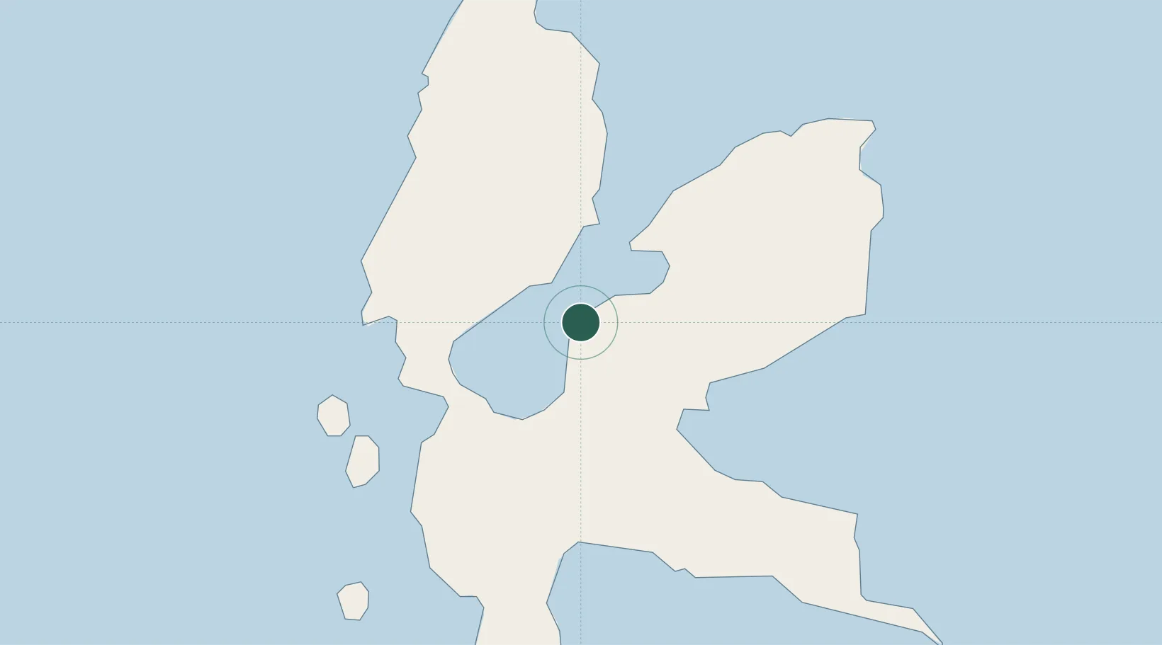
Place type
Populated place
Region
North Maluku
Time zone
Asia/Jayapura
Elevation
58 m
Location
Nearby Logistics Neighbours
Cities
- 1Kau17 km
- 2Subaim23 km
- 3Tanjung Buli40 km
- 4Mornopo41 km
- 5Gee Island46 km
Ports
- 1Ternate71 km
- 2Labuha195 km
- 3Bitung312 km
- 4Manado352 km
- 5Kasim Terminal428 km
Airports
- 1Sultan Babullah Airport70 km
- 2Pitu Airport118 km
- 3Sam Ratulangi International Airport343 km
- 4Marinda Airport352 km
- 5Naha Airport399 km
Trade Zones
- 1KEK Morotai123 km
- 2KEK Likupang320 km
- 3Bitung Special Economic Zone322 km
- 4KEK Sorong432 km
- 5Kamanga Agro-Industrial Economic Zone624 km
DatabookThe Record of Consolidated Knowledge
Indonesia beyond logistics?