Channel & Berth Profile
Pilotage, Tugs & Services
Pilotage compulsoryYES
Pilotage availableYES
Tug assistanceYES
Potable waterYES
Diesel bunkersNO
Garbage disposalNO
Facilities & Capabilities
Container—
Ro-Ro—
Liquid bulk—
Dry bulk—
Oil terminal—
Break bulk—
Dry dock—
Repairs—
BunkeringNO
Rail link—
Dangerous cargo—
ISPS security—
Harbour Specifications
Harbour size
Large
Harbour type
Open Roadstead
Shelter
Poor
Water body
South Pacific Ocean
Tidal range
1 m
Overhead limit
Yes
Pilotage
Yes
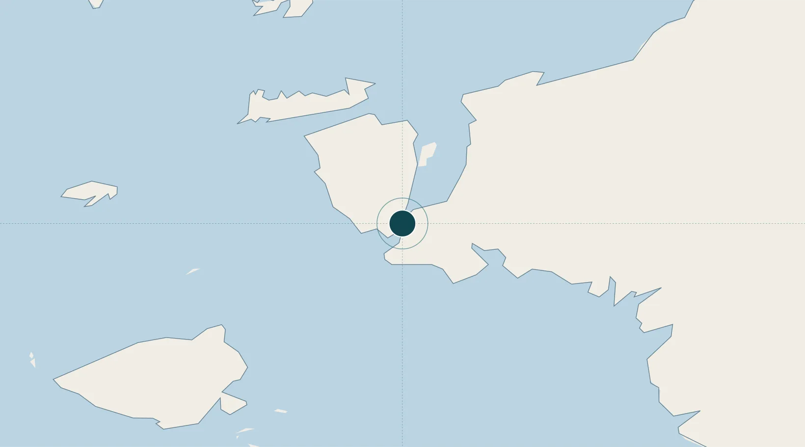
Location
Nearby Logistics Neighbours
Ports
- 1Salawati7 km
- 2Bula208 km
- 3Fakfak230 km
- 4Wahai236 km
- 5Manokwari Road344 km
Cities
- 1Salawati Terminal6 km
- 2Sorong53 km
- 3Misool Terminal63 km
- 4Inanwatan158 km
- 5Kokas221 km
Airports
- 1Domine Eduard Osok Airport54 km
- 2Marinda Airport101 km
- 3Werur Airport163 km
- 4Fakfak Airport228 km
- 5Babo Airport302 km
Trade Zones
- 1KEK Sorong39 km
- 2KEK Morotai485 km
- 3Bitung Special Economic Zone724 km
- 4KEK Likupang731 km
- 5Atauro Special Economic Zone975 km
DatabookThe Record of Consolidated Knowledge
Indonesia beyond logistics?