Transport Functions
Port
Hub Profile
Region
MA
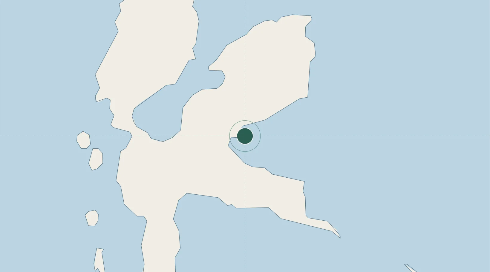
Location
Nearby Logistics Neighbours
Cities
- 1Tanjung Buli7 km
- 2Mornopo12 km
- 3Subaim36 km
- 4Akeselaka46 km
- 5Kau61 km
Ports
- 1Ternate104 km
- 2Labuha189 km
- 3Bitung355 km
- 4Kasim Terminal383 km
- 5Salawati383 km
Airports
- 1Sultan Babullah Airport104 km
- 2Pitu Airport135 km
- 3Marinda Airport307 km
- 4Domine Eduard Osok Airport382 km
- 5Sam Ratulangi International Airport385 km
Trade Zones
- 1KEK Morotai141 km
- 2KEK Likupang364 km
- 3Bitung Special Economic Zone364 km
- 4KEK Sorong386 km
- 5Kamanga Agro-Industrial Economic Zone665 km
DatabookThe Record of Consolidated Knowledge
Indonesia beyond logistics?