Transport Functions
Port
Hub Profile
Place type
District seat
Region
North Maluku
Time zone
Asia/Jayapura
Elevation
19 m
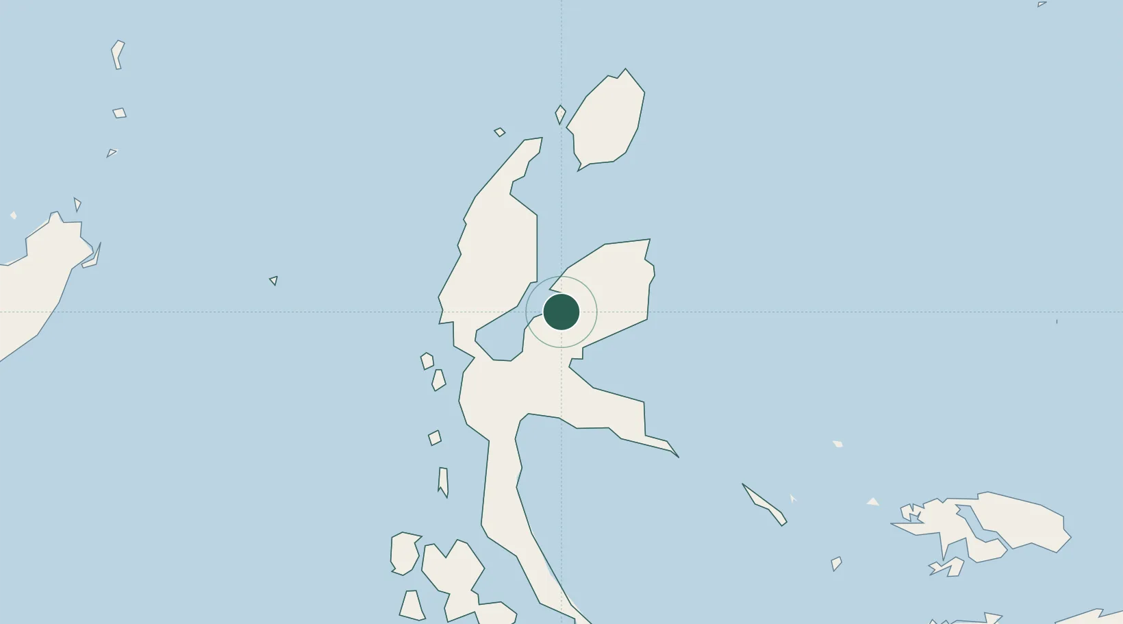
Location
Nearby Logistics Neighbours
Cities
- 1Akeselaka23 km
- 2Kau31 km
- 3Tanjung Buli33 km
- 4Gee Island36 km
- 5Mornopo38 km
Ports
- 1Ternate95 km
- 2Labuha210 km
- 3Bitung334 km
- 4Manado373 km
- 5Kasim Terminal416 km
Airports
- 1Sultan Babullah Airport93 km
- 2Pitu Airport105 km
- 3Marinda Airport337 km
- 4Sam Ratulangi International Airport363 km
- 5Naha Airport409 km
Trade Zones
- 1KEK Morotai111 km
- 2KEK Likupang341 km
- 3Bitung Special Economic Zone343 km
- 4KEK Sorong417 km
- 5Kamanga Agro-Industrial Economic Zone630 km
DatabookThe Record of Consolidated Knowledge
Indonesia beyond logistics?