Small airport · Indonesia
Marinda AirportWASN
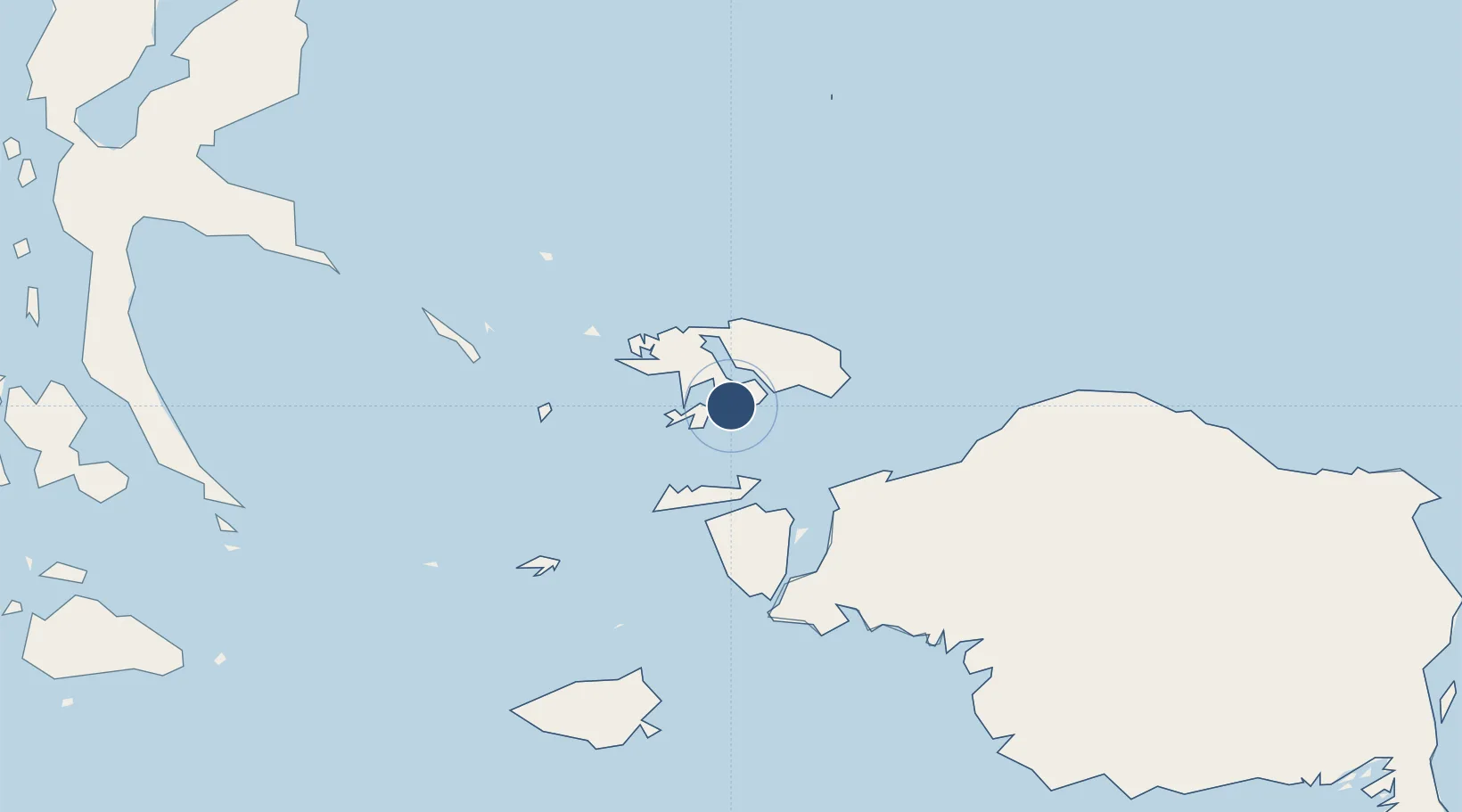
-0.4231°, 130.7733°
4,396 ft
Longest runway
1
Runways
9 ft
Elevation
Runway & Layout

Runways · 1
| Runway | Dimensions | Surface | True heading | Lit |
|---|---|---|---|---|
| 18/36 | 4,396 × 98ft | asphalt | 184° | — |
Airport Specifications
IATA code
RJM
ICAO code
WASN
Airport class
Small airport
Scheduled service
Yes
Runway surface
asphalt
Served city
Waisai
Location
Nearby Logistics Neighbours
Airports
- 1Domine Eduard Osok Airport78 km
- 2Werur Airport157 km
- 3Fakfak Airport324 km
- 4Rendani Airport368 km
- 5Babo Airport378 km
Cities
- 1Sorong73 km
- 2Salawati Terminal106 km
- 3Misool Terminal130 km
- 4Inanwatan245 km
- 5Gee Island307 km
Ports
- 1Kasim Terminal101 km
- 2Salawati106 km
- 3Wahai298 km
- 4Bula299 km
- 5Fakfak326 km
Trade Zones
- 1KEK Sorong85 km
- 2KEK Morotai394 km
- 3Bitung Special Economic Zone663 km
- 4KEK Likupang667 km
- 5Kamanga Agro-Industrial Economic Zone943 km
DatabookThe Record of Consolidated Knowledge
Indonesia beyond logistics?