UN/LOCODE hub · Indonesia
IDTBU

Tanjung Buli

0.8333°, 128.2500°
1
Transport functions

Transport Functions

Port
UN/LOCODE

Hub Profile

Region
MA
GeoNames

Location

Location of IDTBU
Natural Earth 10m (public domain) · MA · IDTBU · 0.83, 128.25GoogleOSMYandex

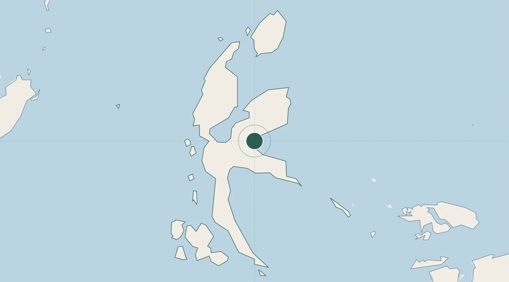
Nearby Logistics Neighbours

Cities
  1. 1Mornopo7 km
  2. 2Gee Island7 km
  3. 3Subaim33 km
  4. 4Akeselaka40 km
  5. 5Kau55 km
Nearest neighbours — logibook spatial index (haversine) over the source coordinates
Ports
  1. 1Ternate97 km
  2. 2Labuha185 km
  3. 3Bitung347 km
  4. 4Manado387 km
  5. 5Kasim Terminal389 km
Nearest neighbours — logibook spatial index (haversine) over the source coordinates
Airports
  1. 1Sultan Babullah Airport97 km
  2. 2Pitu Airport135 km
  3. 3Marinda Airport313 km
  4. 4Sam Ratulangi International Airport378 km
  5. 5Domine Eduard Osok Airport389 km
Nearest neighbours — logibook spatial index (haversine) over the source coordinates
Trade Zones
  1. 1KEK Morotai141 km
  2. 2KEK Likupang357 km
  3. 3Bitung Special Economic Zone357 km
  4. 4KEK Sorong392 km
  5. 5Kamanga Agro-Industrial Economic Zone661 km
Nearest neighbours — logibook spatial index (haversine) over the source coordinates
DatabookThe Record of Consolidated Knowledge
Indonesia beyond logistics?
Browse databook

All Sources

LocationsUN/LOCODE
UN/LOCODE — free
Portsthe NGA World Port Index
Public domain (US gov)
AirportsOurAirports
Public domain
Trade Zonesthe World Bank SEZ database
CC BY 4.0
Trade ZonesOpen Zone Map
CC BY
← Indonesia locations