Diversified Zone · Indonesia

Tuban Industrial Estate Active
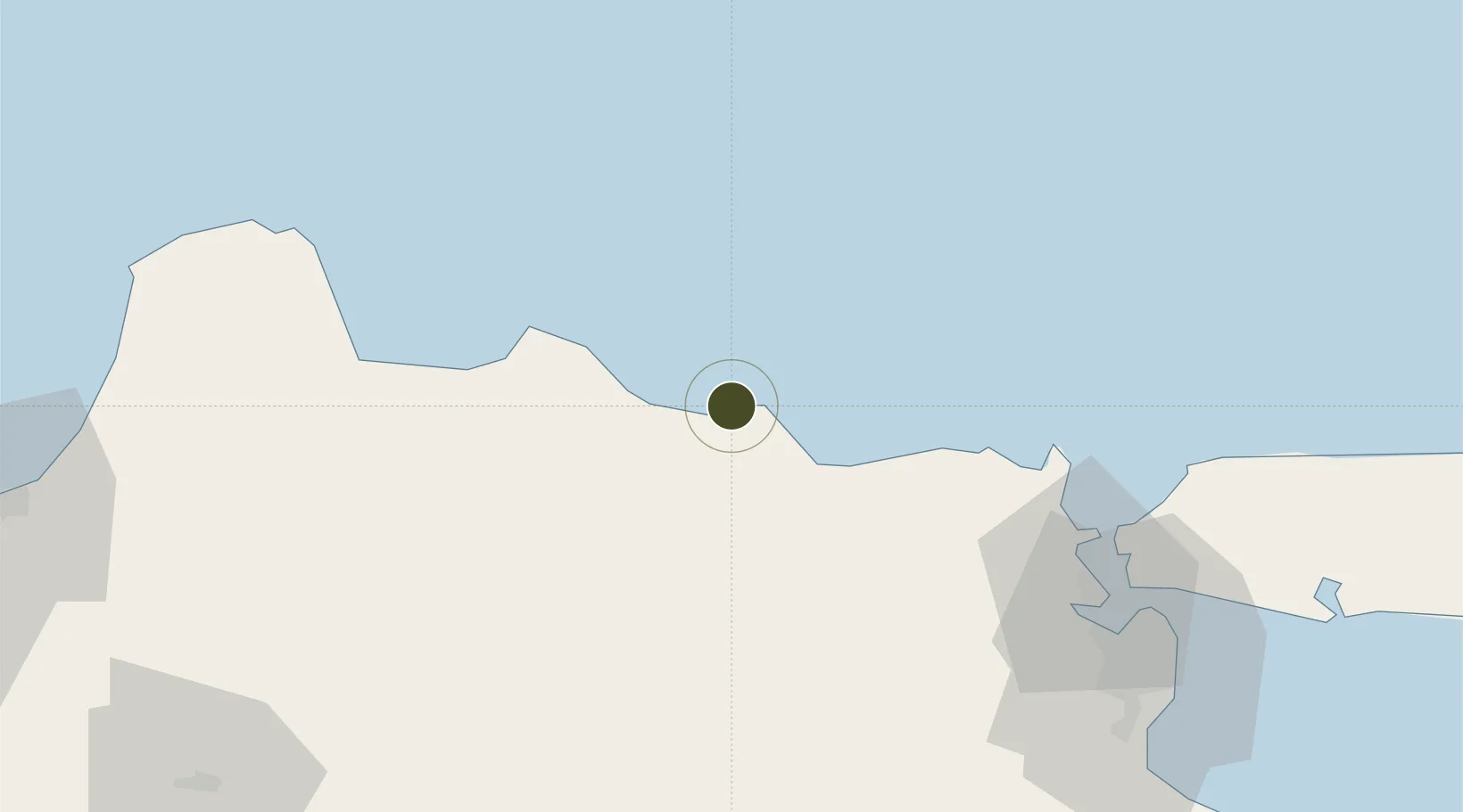
-6.7866°, 111.9082°
227 ha
Zone area
27.4 km
Nearest port
107.2 km
Nearest airport

Gateway access

Nearest neighbours — logibook spatial index (haversine) over the source coordinates

Zone profile

Zone type
Diversified Zone
Open Zone Map
Region
Jawa Timur
Open Zone Map
Status
Active
Open Zone Map
Management
Public-Private Partnership
Open Zone Map
Operator
PT Kawasan Industri Gresik
Open Zone Map
Legal framework
The Law No 3. Article 106, issued in 2014
Open Zone Map

Location

Location of ozm-2359
Natural Earth 10m (public domain) · Jawa Timur · ozm-2359 · -6.79, 111.91GoogleOSMYandex

Nearby Logistics Neighbours

Ports
  1. 1Tuban27 km
  2. 2Rembang62 km
  3. 3Gresik91 km
  4. 4Surabaya102 km
  5. 5Poleng Oil Field112 km
Nearest neighbours — logibook spatial index (haversine) over the source coordinates
Airports
  1. 1Dhoho International Airport107 km
  2. 2Juanda International Airport117 km
  3. 3Adisumarmo Airport151 km
  4. 4Abdul Rachman Saleh Airport155 km
  5. 5Jenderal Ahmad Yani Airport171 km
Nearest neighbours — logibook spatial index (haversine) over the source coordinates
Cities
  1. 1Cepu54 km
  2. 2Manyar85 km
  3. 3Gresik, Java91 km
  4. 4Jombang92 km
  5. 5Mojokerto95 km
Nearest neighbours — logibook spatial index (haversine) over the source coordinates
Trade Zones
  1. 1Java Integrated Industrial Estate84 km
  2. 2Maspion Industrial Estate86 km
  3. 3Gresik Industrial Estate90 km
  4. 4Pulahan Seruai Industrial Estate104 km
  5. 5Surabaya Industrial Estate - Rungkut112 km
Nearest neighbours — logibook spatial index (haversine) over the source coordinates
DatabookThe Record of Consolidated Knowledge
Indonesia beyond logistics?
Browse databook

All Sources

Trade ZonesOpen Zone Map
CC BY
Portsthe NGA World Port Index
Public domain (US gov)
AirportsOurAirports
Public domain
LocationsUN/LOCODE
UN/LOCODE — free
← Indonesia trade zones