Transport Functions
Multimodal
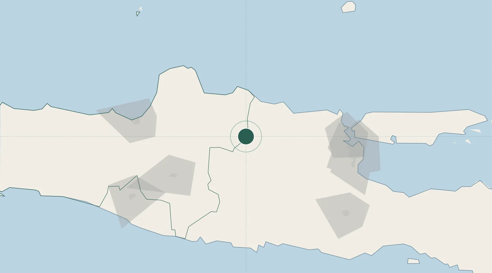
Hub Profile
Place type
District seat
Region
Central Java
Population
55,055
Time zone
Asia/Jakarta
Elevation
36 m
Location
Nearby Logistics Neighbours
Cities
- 1Kendal58 km
- 2Sragen68 km
- 3Jombang84 km
- 4Karanganyar85 km
- 5Mojokerto100 km
Airports
- 1Dhoho International Airport78 km
- 2Adisumarmo Airport100 km
- 3Jenderal Ahmad Yani Airport135 km
- 4Juanda International Airport135 km
- 5Adisutjipto International Airport145 km
Trade Zones
DatabookThe Record of Consolidated Knowledge
Indonesia beyond logistics?