Large airport · Indonesia

Jenderal Ahmad Yani AirportWARS
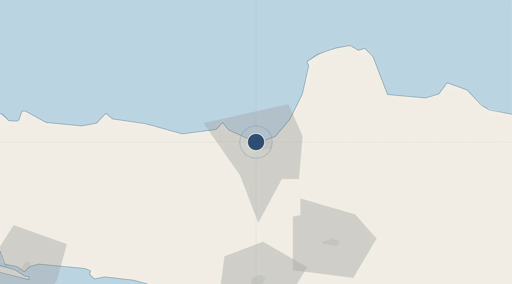
-6.9707°, 110.3732°
8,399 ft
Longest runway
1
Runways
10 ft
Elevation

Runway & Layout

Jenderal Ahmad Yani Airport runway & taxiway layout
Runway & taxiway layout — OpenStreetMap (ODbL) / OurAirports

Radio Frequencies

ATIS
126 MHz
TWR
122.3 MHz
YANI TWR
APP
120.3 MHz
SEMARANG APP
OurAirports

Runways · 1

RunwayDimensions SurfaceTrue headingLit
13/31 8,399 × 148ft Asphalt 130°
OurAirports

Airport Specifications

IATA code
SRG
OurAirports
ICAO code
WAHS
OurAirports
Airport class
Large airport
OurAirports
Scheduled service
Yes
OurAirports
Runway surface
Asphalt
OurAirports
Served city
Semarang
OurAirports

Location

Location of WARS
Natural Earth 10m (public domain) · Jawa Tengah · WARS · -6.97, 110.37GoogleOSMYandex

Nearby Logistics Neighbours

Airports
  1. 1Adisumarmo Airport74 km
  2. 2Adisutjipto International Airport91 km
  3. 3Yogyakarta International Airport110 km
  4. 4Dewadaru Airport131 km
  5. 5Tunggul Wulung Airport166 km
Nearest neighbours — logibook spatial index (haversine) over the source coordinates
Cities
  1. 1Semarang5 km
  2. 2Demak30 km
  3. 3Karangjati (Kodya Salatiga)39 km
  4. 4Tawangsari40 km
  5. 5Temanggung43 km
Nearest neighbours — logibook spatial index (haversine) over the source coordinates
Ports
  1. 1Semarang5 km
  2. 2Pekalongan76 km
  3. 3Rembang112 km
  4. 4Tegal138 km
  5. 5Cilacap174 km
Nearest neighbours — logibook spatial index (haversine) over the source coordinates
Trade Zones
  1. 1Candi Industrial Estate2 km
  2. 2Wijayakusuma Industrial Estate4 km
  3. 3Tanjung Emas Export Processing Zone7 km
  4. 4Bukit Semarang Baru Industrial Park9 km
  5. 5Terboyo Industrial Estate11 km
Nearest neighbours — logibook spatial index (haversine) over the source coordinates
DatabookThe Record of Consolidated Knowledge
Indonesia beyond logistics?
Browse databook

All Sources

AirportsOurAirports
Public domain
Portsthe NGA World Port Index
Public domain (US gov)
LocationsUN/LOCODE
UN/LOCODE — free
Trade Zonesthe World Bank SEZ database
CC BY 4.0
Trade ZonesOpen Zone Map
CC BY
InfrastructureOpenStreetMap
ODbL 1.0
← Indonesia airports