Transport Functions
Multimodal
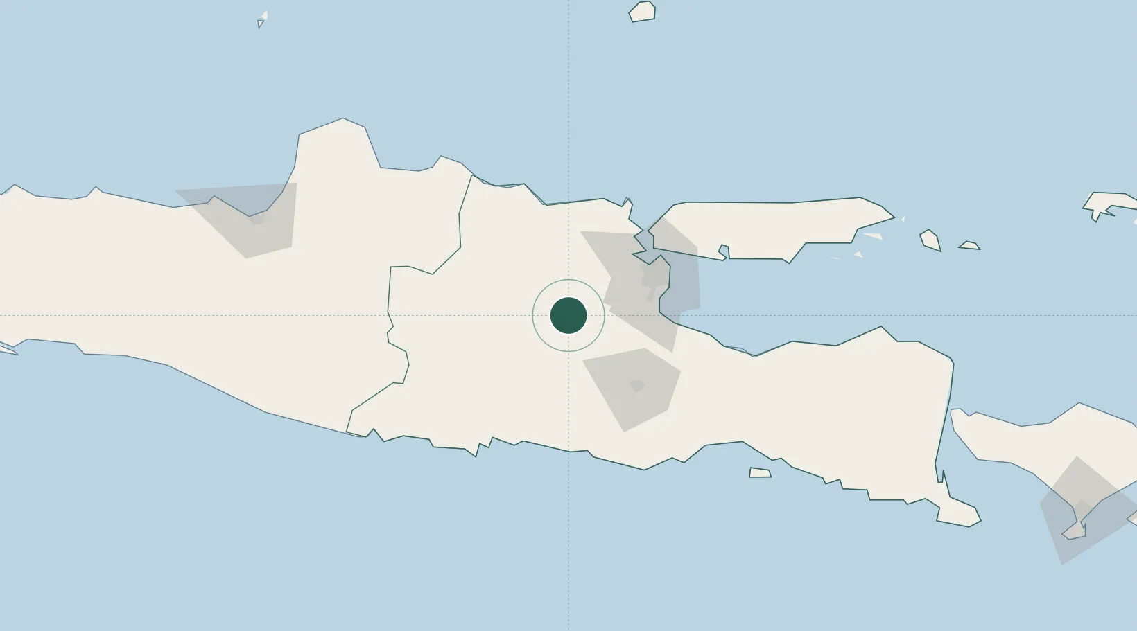
Hub Profile
Place type
Populated place
Region
East Java
Population
126,465
Time zone
Asia/Jakarta
Elevation
43 m
Location
Nearby Logistics Neighbours
Cities
- 1Mojokerto24 km
- 2Mojosari35 km
- 3Jawa Timur36 km
- 4Purwosari60 km
- 5Surabaya63 km
Ports
- 1Gresik64 km
- 2Surabaya68 km
- 3Tuban91 km
- 4Probolinggo110 km
- 5Poleng Oil Field125 km
Airports
- 1Dhoho International Airport39 km
- 2Juanda International Airport64 km
- 3Abdul Rachman Saleh Airport68 km
- 4Adisumarmo Airport163 km
- 5Notohadinegoro Airport178 km
Trade Zones
- 1Ngoro Industrial Park42 km
- 2Safe N Lock Industrial Estate58 km
- 3KEK Singhasari58 km
- 4Pulahan Seruai Industrial Estate62 km
- 5Gresik Industrial Estate62 km
DatabookThe Record of Consolidated Knowledge
Indonesia beyond logistics?