Specialized Zone · India

Nsl SEZ, Uppal Active
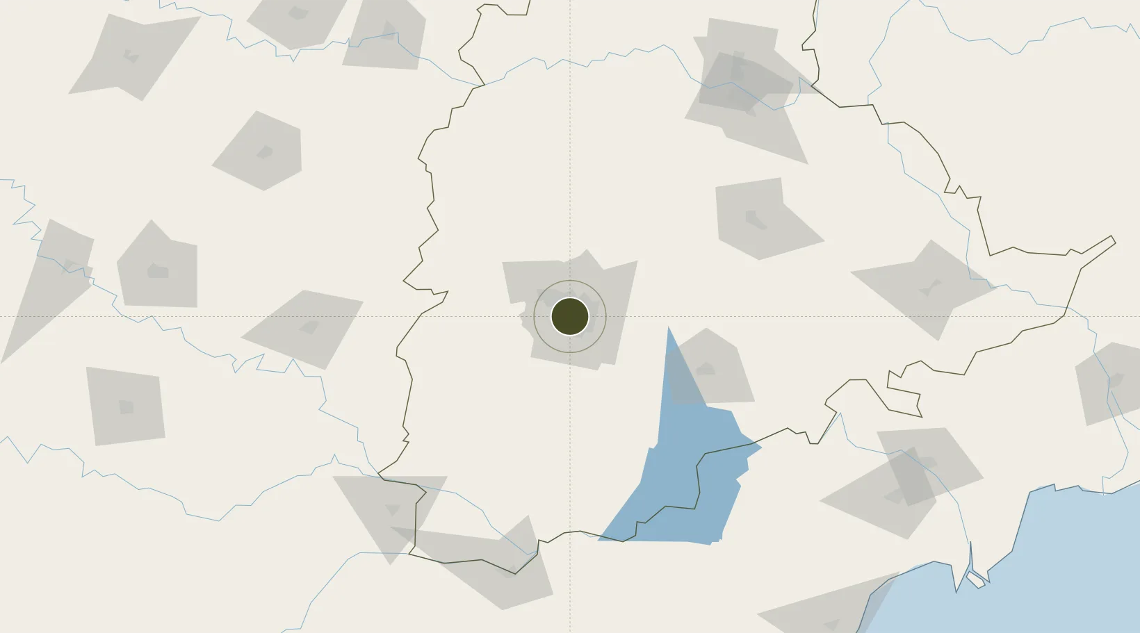
17.4119°, 78.4361°
14 ha
Zone area
395.7 km
Nearest port
5.7 km
Nearest airport

Gateway access

Nearest neighbours — logibook spatial index (haversine) over the source coordinates

Zone profile

Zone type
Specialized Zone
Open Zone Map
Specialization
Real Estate
Open Zone Map
Region
Telangana
Open Zone Map
Status
Active
Open Zone Map
Management
Private
Open Zone Map
Operator
NSL Infratech Pvt Ltd.
Open Zone Map
Legal framework
LoA 9/114/SEZ/HYD/2011 dated 17.03.2011
Open Zone Map

Location

Location of ozm-2310
Natural Earth 10m (public domain) · Telangana · ozm-2310 · 17.41, 78.44GoogleOSMYandex

Nearby Logistics Neighbours

Ports
  1. 1Kattupalli Port396 km
  2. 2Kakinada Bay415 km
  3. 3Kamarajar Port505 km
  4. 4Gangavaram511 km
  5. 5Vishakhapatnam517 km
Nearest neighbours — logibook spatial index (haversine) over the source coordinates
Airports
  1. 1Begumpet Airport6 km
  2. 2Rajiv Gandhi International Airport20 km
  3. 3Dundigul Air Force Academy24 km
  4. 4Bidar Airport / Bidar Air Force Station115 km
  5. 5Kalaburagi Airport157 km
Nearest neighbours — logibook spatial index (haversine) over the source coordinates
Cities
  1. 1APIICL-SEZ/Ranga Reddy6 km
  2. 2Hgsezl-SEZ/Ranga Reddy6 km
  3. 3Hyderabad9 km
  4. 4CMTL ICD/Thimmapur32 km
  5. 5Raidurg37 km
Nearest neighbours — logibook spatial index (haversine) over the source coordinates
Trade Zones
  1. 1Dr. Reddys Laboratories Ltd3 km
  2. 2Hyderabad Specialized Zone (Gems) SEZ3 km
  3. 3Myron Realtors Private Limited3 km
  4. 4Apiic Ltd & L&T, Kesarapalli4 km
  5. 5OMICS International5 km
Nearest neighbours — logibook spatial index (haversine) over the source coordinates
DatabookThe Record of Consolidated Knowledge
India beyond logistics?
Browse databook

All Sources

Trade ZonesOpen Zone Map
CC BY
Portsthe NGA World Port Index
Public domain (US gov)
AirportsOurAirports
Public domain
LocationsUN/LOCODE
UN/LOCODE — free
← India trade zones