Specialized Zone · India

Myron Realtors Private Limited Active
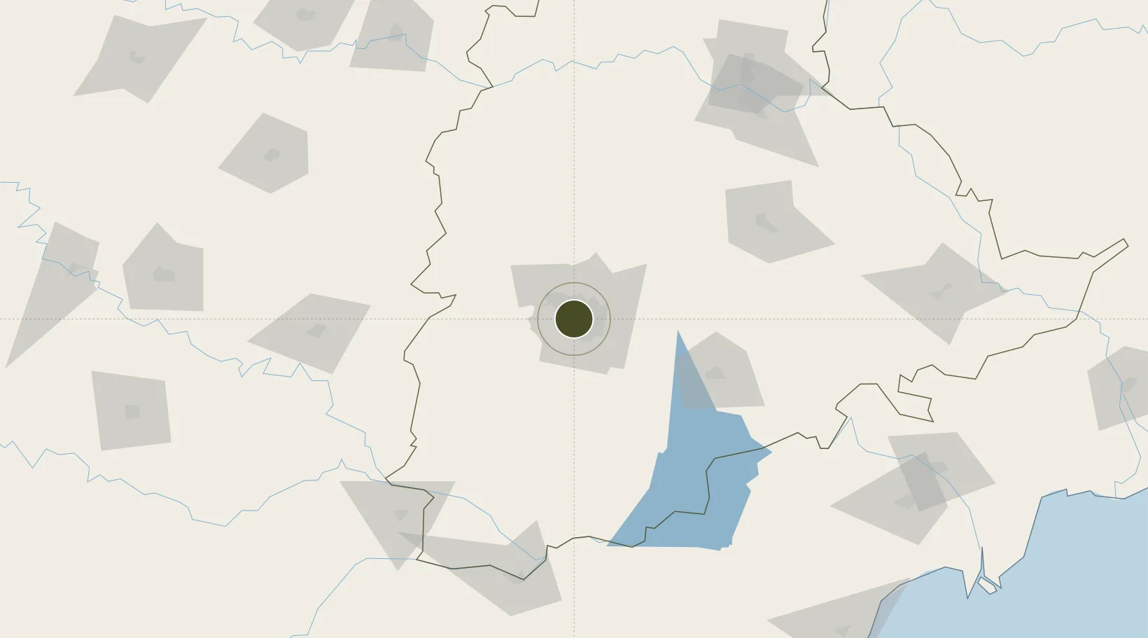
17.4196°, 78.4073°
11 ha
Zone area
397.9 km
Nearest port
7.4 km
Nearest airport

Gateway access

Nearest neighbours — logibook spatial index (haversine) over the source coordinates

Zone profile

Zone type
Specialized Zone
Open Zone Map
Specialization
Real Estate
Open Zone Map
Region
Telangana
Open Zone Map
Status
Active
Open Zone Map
Management
Private
Open Zone Map
Operator
Myron Homes Private Limited Private incorporated
Open Zone Map
Legal framework
Andhra Pradesh Bill No. 51 of 2005
Open Zone Map

Location

Location of ozm-2306
Natural Earth 10m (public domain) · Telangana · ozm-2306 · 17.42, 78.41GoogleOSMYandex

Nearby Logistics Neighbours

Ports
  1. 1Kattupalli Port398 km
  2. 2Kakinada Bay418 km
  3. 3Kamarajar Port507 km
  4. 4Gangavaram514 km
  5. 5Vishakhapatnam520 km
Nearest neighbours — logibook spatial index (haversine) over the source coordinates
Airports
  1. 1Begumpet Airport7 km
  2. 2Rajiv Gandhi International Airport21 km
  3. 3Dundigul Air Force Academy23 km
  4. 4Bidar Airport / Bidar Air Force Station112 km
  5. 5Kalaburagi Airport154 km
Nearest neighbours — logibook spatial index (haversine) over the source coordinates
Cities
  1. 1Hyderabad7 km
  2. 2APIICL-SEZ/Ranga Reddy9 km
  3. 3Hgsezl-SEZ/Ranga Reddy9 km
  4. 4CMTL ICD/Thimmapur31 km
  5. 5Raidurg38 km
Nearest neighbours — logibook spatial index (haversine) over the source coordinates
Trade Zones
  1. 1Hyderabad Specialized Zone (Gems) SEZ2 km
  2. 2OMICS International3 km
  3. 3Nsl SEZ, Uppal3 km
  4. 4Lanco Hills Technology, Manikonda4 km
  5. 5Dr. Reddys Laboratories Ltd4 km
Nearest neighbours — logibook spatial index (haversine) over the source coordinates
DatabookThe Record of Consolidated Knowledge
India beyond logistics?
Browse databook

All Sources

Trade ZonesOpen Zone Map
CC BY
Portsthe NGA World Port Index
Public domain (US gov)
AirportsOurAirports
Public domain
LocationsUN/LOCODE
UN/LOCODE — free
← India trade zones