Medium airport · India

Begumpet AirportVOHY
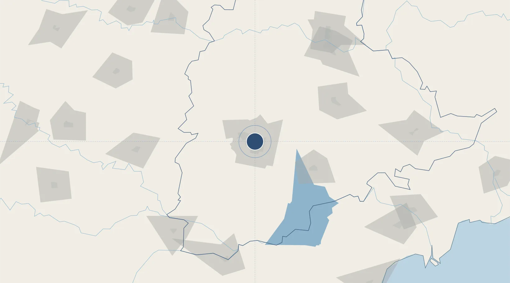
17.4531°, 78.4676°
10,600 ft
Longest runway
1
Runways
1,742 ft
Elevation

Runway & Layout

Begumpet Airport runway & taxiway layout
Runway & taxiway layout — OpenStreetMap (ODbL) / OurAirports

Radio Frequencies

ATIS
126.8 MHz
TWR
122.25 MHz
APP
132.4 MHz
ACC
129.7 MHz
RDO
287.2 MHz
OurAirports

Navaids

HHY VOR-DME Hyderabad 114.70 MHz
OurAirports

Runways · 1

RunwayDimensions SurfaceTrue headingLit
09/27 10,600 × 148ft Asphalt 089°
OurAirports

Airport Specifications

IATA code
BPM
OurAirports
ICAO code
VOHY
OurAirports
Airport class
Medium airport
OurAirports
Scheduled service
No
OurAirports
Runway surface
Asphalt
OurAirports
Served city
Hyderabad
OurAirports

Location

Location of VOHY
Natural Earth 10m (public domain) · Telangana · VOHY · 17.45, 78.47GoogleOSMYandex

Nearby Logistics Neighbours

Airports
  1. 1Dundigul Air Force Academy21 km
  2. 2Rajiv Gandhi International Airport25 km
  3. 3Bidar Airport / Bidar Air Force Station116 km
  4. 4Kalaburagi Airport160 km
  5. 5Kurnool Airport196 km
Nearest neighbours — logibook spatial index (haversine) over the source coordinates
Cities
  1. 1Hyderabad9 km
  2. 2APIICL-SEZ/Ranga Reddy10 km
  3. 3Hgsezl-SEZ/Ranga Reddy10 km
  4. 4Raidurg31 km
  5. 5CMTL ICD/Thimmapur38 km
Nearest neighbours — logibook spatial index (haversine) over the source coordinates
Ports
  1. 1Kattupalli Port398 km
  2. 2Kakinada Bay412 km
  3. 3Gangavaram507 km
  4. 4Kamarajar Port508 km
  5. 5Vishakhapatnam513 km
Nearest neighbours — logibook spatial index (haversine) over the source coordinates
Trade Zones
  1. 1Dr. Reddys Laboratories Ltd3 km
  2. 2Nsl SEZ, Uppal6 km
  3. 3Hyderabad Specialized Zone (Gems) SEZ6 km
  4. 4Apiic Ltd & L&T, Kesarapalli6 km
  5. 5Myron Realtors Private Limited7 km
Nearest neighbours — logibook spatial index (haversine) over the source coordinates
DatabookThe Record of Consolidated Knowledge
India beyond logistics?
Browse databook

All Sources

AirportsOurAirports
Public domain
Portsthe NGA World Port Index
Public domain (US gov)
LocationsUN/LOCODE
UN/LOCODE — free
Trade Zonesthe World Bank SEZ database
CC BY 4.0
Trade ZonesOpen Zone Map
CC BY
InfrastructureOpenStreetMap
ODbL 1.0
← India airports