Seaport · India
Kakinada BayINKAK
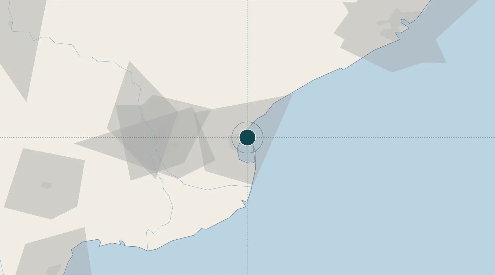
17.0000°, 82.3167°
1
Container terminals
19.0
Port liner connectivity
Channel & Berth Profile
Pilotage, Tugs & Services
Pilotage compulsoryYES
Pilotage availableYES
Pilotage advisableNO
Local assistanceNO
Tug assistanceYES
Potable waterYES
Diesel bunkersNO
MedicalYES
Garbage disposalYES
Facilities & Capabilities
Container—
Ro-Ro—
Liquid bulk—
Dry bulk—
Oil terminal—
Break bulk—
Dry dockNO
RepairsNO
BunkeringYES
Rail linkYES
Dangerous cargo—
ISPS security—
Harbour Specifications
Harbour size
Very Small
Harbour type
Coastal (Breakwater)
Shelter
Poor
Water body
Bay of Bengal; Indian Ocean
Tidal range
2 m
Overhead limit
No
Pilotage
Yes
Liner Connectivity
19
PLSCI
Port Liner Shipping Connectivity Index for Kakinada Bay, as published by UNCTAD for the latest available quarter. Higher values indicate stronger scheduled liner-shipping integration.
Shown relative to the highest per-port PLSCI in the dataset (1,657.9).
Location
Container Terminals · 1
KAKINADA CONTAINER TERMINAL (KCT)
KCT KAKINADA CONTAINER TERMINAL PVT. LTD. (KCTPL)
Nearby Logistics Neighbours
Ports
- 1Gangavaram122 km
- 2Vishakhapatnam129 km
- 3Gopalpur379 km
- 4Kattupalli Port385 km
- 5Kamarajar Port467 km
Cities
- 1Kspl-SEZ/Kakinada13 km
- 2Picpl-SEZ/Kakinada13 km
- 3Samalkot15 km
- 4WFPML-SEZ/Kovvur62 km
- 5Bhimavaram98 km
Airports
- 1Rajahmundry Airport55 km
- 2Visakhapatnam International Airport126 km
- 3Vijayawada International Airport169 km
- 4Jagdalpur Airport233 km
- 5Utkela Airport356 km
DatabookThe Record of Consolidated Knowledge
India beyond logistics?