UN/LOCODE hub · India
INTMX

CMTL ICD/Thimmapur

17.1620°, 78.2864°
2
Transport functions

Transport Functions

Road
Multimodal
UN/LOCODE

Hub Profile

Region
AP
GeoNames
Logistics facilities
1
UN/LOCODE

Location

Location of INTMX
Natural Earth 10m (public domain) · AP · INTMX · 17.16, 78.29GoogleOSMYandex

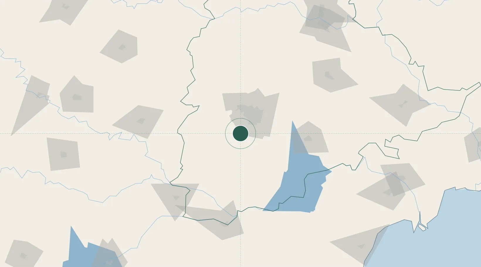
Nearby Logistics Neighbours

Cities
  1. 1Balanagar25 km
  2. 2APIICL-SEZ/Ranga Reddy30 km
  3. 3Hgsezl-SEZ/Ranga Reddy30 km
  4. 4Hyderabad37 km
  5. 5ITL SEZ/Ranga Reddy47 km
Nearest neighbours — logibook spatial index (haversine) over the source coordinates
Ports
  1. 1Kattupalli Port379 km
  2. 2Kakinada Bay429 km
  3. 3Kamarajar Port487 km
  4. 4Chennai (Madras)501 km
  5. 5Belekeri510 km
Nearest neighbours — logibook spatial index (haversine) over the source coordinates
Airports
  1. 1Rajiv Gandhi International Airport17 km
  2. 2Begumpet Airport38 km
  3. 3Dundigul Air Force Academy53 km
  4. 4Bidar Airport / Bidar Air Force Station119 km
  5. 5Kalaburagi Airport141 km
Nearest neighbours — logibook spatial index (haversine) over the source coordinates
Trade Zones
  1. 1Jt Holdings Pvt Ltd, Rr Dist.15 km
  2. 2GMR Hyderabad International Airport Limted18 km
  3. 3DLF Commercial Developers Ltd, Gachibowli27 km
  4. 4Lanco Hills Technology, Manikonda29 km
  5. 5TCSl Ltd, Adibatla30 km
Nearest neighbours — logibook spatial index (haversine) over the source coordinates
DatabookThe Record of Consolidated Knowledge
India beyond logistics?
Browse databook

All Sources

LocationsUN/LOCODE
UN/LOCODE — free
Portsthe NGA World Port Index
Public domain (US gov)
AirportsOurAirports
Public domain
Trade Zonesthe World Bank SEZ database
CC BY 4.0
Trade ZonesOpen Zone Map
CC BY
← India locations