Specialized Zone · India

OMICS International Active
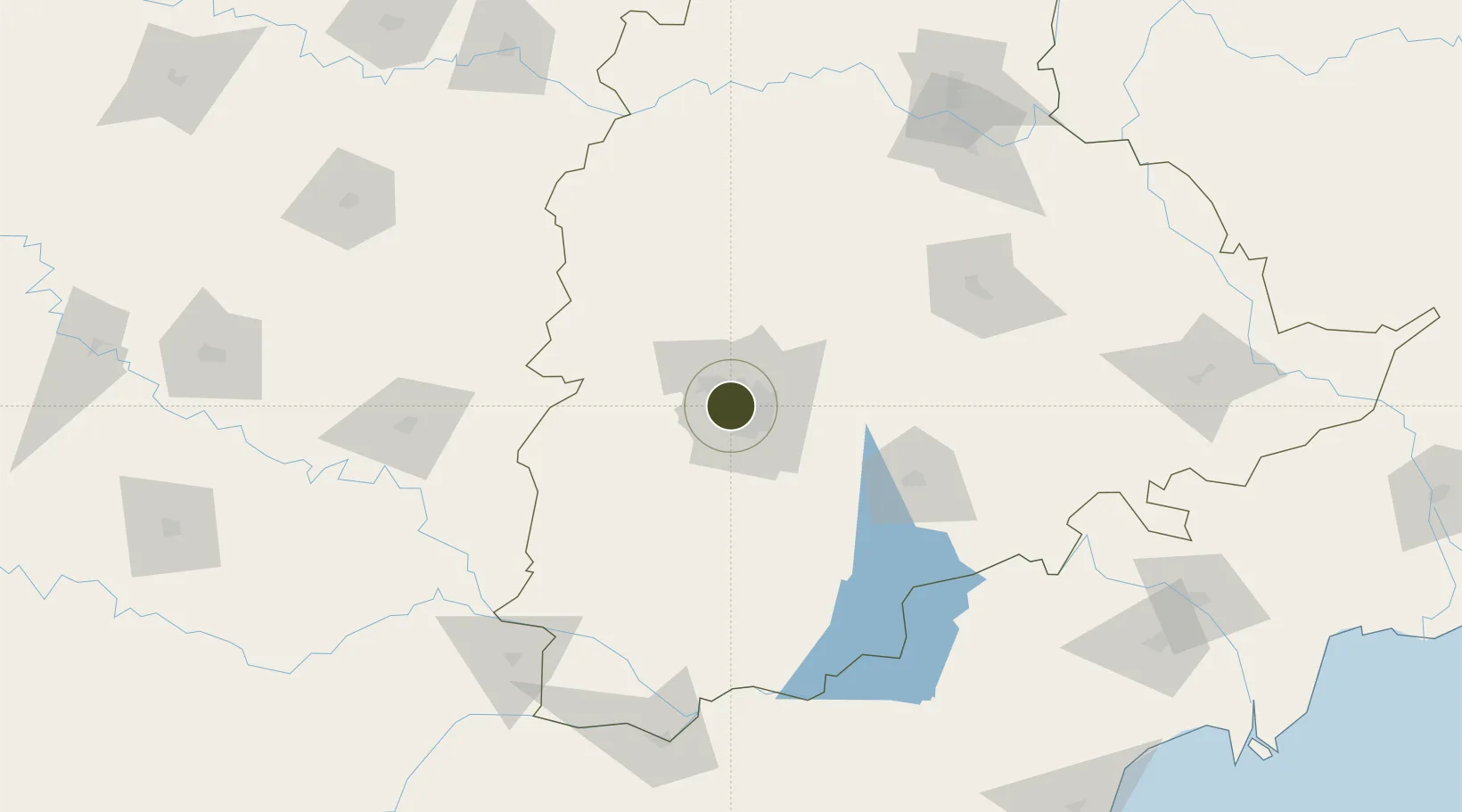
17.4378°, 78.3927°
10 ha
Zone area
400.4 km
Nearest port
8.1 km
Nearest airport

Gateway access

Nearest neighbours — logibook spatial index (haversine) over the source coordinates

Zone profile

Zone type
Specialized Zone
Open Zone Map
Specialization
IT
Open Zone Map
Region
Telangana
Open Zone Map
Status
Active
Open Zone Map
Management
Private
Open Zone Map
Operator
OMICS International Private Limited
Open Zone Map
Legal framework
LoA 26(D)/151/SSSEZ/VSEZ/2018dated 01.08.2018
Open Zone Map

Location

Location of ozm-2211
Natural Earth 10m (public domain) · Telangana · ozm-2211 · 17.44, 78.39GoogleOSMYandex

Nearby Logistics Neighbours

Ports
  1. 1Kattupalli Port400 km
  2. 2Kakinada Bay420 km
  3. 3Kamarajar Port509 km
  4. 4Gangavaram516 km
  5. 5Vishakhapatnam521 km
Nearest neighbours — logibook spatial index (haversine) over the source coordinates
Airports
  1. 1Begumpet Airport8 km
  2. 2Dundigul Air Force Academy21 km
  3. 3Rajiv Gandhi International Airport23 km
  4. 4Bidar Airport / Bidar Air Force Station109 km
  5. 5Kalaburagi Airport152 km
Nearest neighbours — logibook spatial index (haversine) over the source coordinates
Cities
  1. 1Hyderabad5 km
  2. 2APIICL-SEZ/Ranga Reddy11 km
  3. 3Hgsezl-SEZ/Ranga Reddy11 km
  4. 4CMTL ICD/Thimmapur33 km
  5. 5Raidurg37 km
Nearest neighbours — logibook spatial index (haversine) over the source coordinates
Trade Zones
  1. 1Hyderabad Specialized Zone (Gems) SEZ3 km
  2. 2Myron Realtors Private Limited3 km
  3. 3Tech Mahindra Limited (Satyam Computers), Madhapur3 km
  4. 4Lanco Hills Technology, Manikonda4 km
  5. 5Nsl SEZ, Uppal5 km
Nearest neighbours — logibook spatial index (haversine) over the source coordinates
DatabookThe Record of Consolidated Knowledge
India beyond logistics?
Browse databook

All Sources

Trade ZonesOpen Zone Map
CC BY
Portsthe NGA World Port Index
Public domain (US gov)
AirportsOurAirports
Public domain
LocationsUN/LOCODE
UN/LOCODE — free
← India trade zones