Specialized Zone · India

Apiic Ltd & L&T, Kesarapalli Active
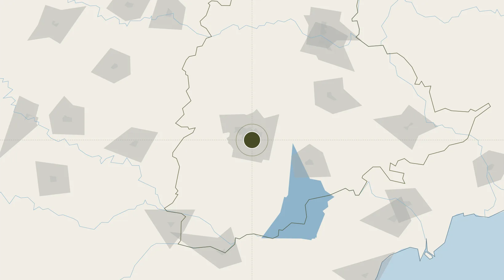
17.3971°, 78.4742°
12 ha
Zone area
392.4 km
Nearest port
6.3 km
Nearest airport

Gateway access

Nearest neighbours — logibook spatial index (haversine) over the source coordinates

Zone profile

Zone type
Specialized Zone
Open Zone Map
Specialization
IT
Open Zone Map
Region
Telangana
Open Zone Map
Status
Active
Open Zone Map
Management
Public-Private Partnership
Open Zone Map
Operator
Andhra Pradesh Industrial Infrastructure Corporation Ltd.
Open Zone Map
Legal framework
Andhra Pradesh Bill No. 51 of 2005
Open Zone Map

Location

Location of ozm-2220
Natural Earth 10m (public domain) · Telangana · ozm-2220 · 17.40, 78.47GoogleOSMYandex

Nearby Logistics Neighbours

Ports
  1. 1Kattupalli Port392 km
  2. 2Kakinada Bay411 km
  3. 3Kamarajar Port502 km
  4. 4Gangavaram507 km
  5. 5Vishakhapatnam513 km
Nearest neighbours — logibook spatial index (haversine) over the source coordinates
Airports
  1. 1Begumpet Airport6 km
  2. 2Rajiv Gandhi International Airport19 km
  3. 3Dundigul Air Force Academy27 km
  4. 4Bidar Airport / Bidar Air Force Station119 km
  5. 5Kalaburagi Airport161 km
Nearest neighbours — logibook spatial index (haversine) over the source coordinates
Cities
  1. 1APIICL-SEZ/Ranga Reddy4 km
  2. 2Hgsezl-SEZ/Ranga Reddy4 km
  3. 3Hyderabad13 km
  4. 4CMTL ICD/Thimmapur33 km
  5. 5Raidurg36 km
Nearest neighbours — logibook spatial index (haversine) over the source coordinates
Trade Zones
  1. 1Nsl SEZ, Uppal4 km
  2. 2Dr. Reddys Laboratories Ltd5 km
  3. 3Hyderabad Specialized Zone (Gems) SEZ7 km
  4. 4Myron Realtors Private Limited8 km
  5. 5OMICS International10 km
Nearest neighbours — logibook spatial index (haversine) over the source coordinates
DatabookThe Record of Consolidated Knowledge
India beyond logistics?
Browse databook

All Sources

Trade ZonesOpen Zone Map
CC BY
Portsthe NGA World Port Index
Public domain (US gov)
AirportsOurAirports
Public domain
LocationsUN/LOCODE
UN/LOCODE — free
← India trade zones