Seaport · India
Kattupalli PortINKRI
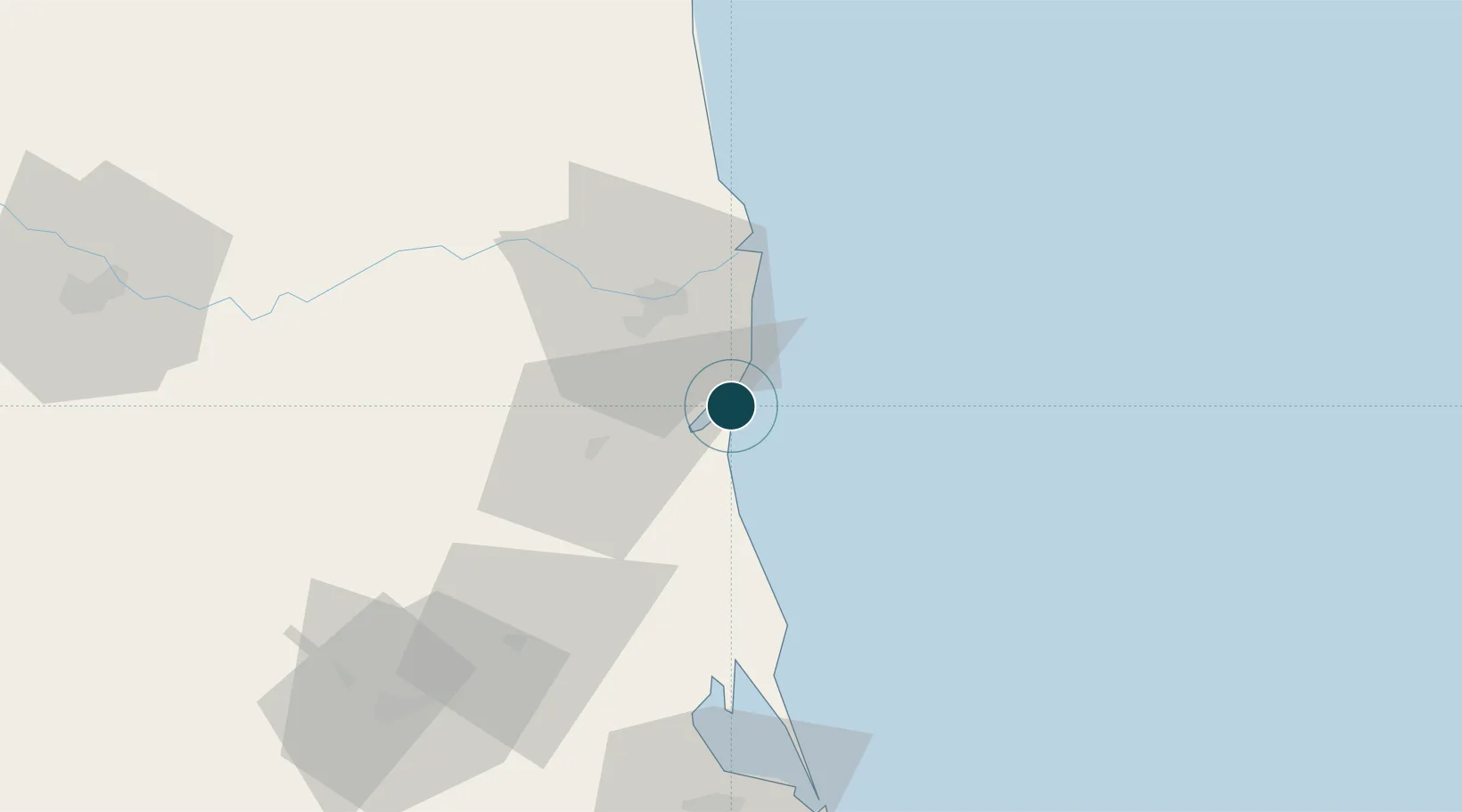
14.2500°, 80.1333°
14.0 m
Channel depth
1
Container terminals
15.7
Port liner connectivity
Channel & Berth Profile
Pilotage, Tugs & Services
Pilotage compulsoryYES
Pilotage availableYES
Facilities & Capabilities
Container—
Ro-Ro—
Liquid bulk—
Dry bulk—
Oil terminal—
Break bulk—
Dry dock—
Repairs—
Bunkering—
Rail link—
Dangerous cargo—
ISPS security—
Harbour Specifications
Harbour size
Large
Water body
Bay of Bengal; Indian Ocean
Tidal range
1 m
Pilotage
Yes
Liner Connectivity
15.7
PLSCI
Port Liner Shipping Connectivity Index for Kattupalli Port, as published by UNCTAD for the latest available quarter. Higher values indicate stronger scheduled liner-shipping integration.
Shown relative to the highest per-port PLSCI in the dataset (1,657.9).
Location
Container Terminals · 1
ADANI KRISHNAPATNAM CONTAINER TERMINAL
KPCT ADANI KRISHNAPATNAM CONTAINER TERMINAL PVT. LTD.
Nearby Logistics Neighbours
Ports
- 1Kamarajar Port112 km
- 2Chennai (Madras)129 km
- 3Pondicherry260 km
- 4Cuddalore285 km
- 5Karaikal Port381 km
Cities
- 1Asdipl-SEZ/Nellore27 km
- 2Güdür35 km
- 3Sri City Pvt Ltd-SEZ/Satyavedu92 km
- 4Renigunta94 km
- 5Nandiambakkam98 km
Airports
- 1Tirupati International Airport94 km
- 2Chennai International Airport140 km
- 3Kadapa Airport150 km
- 4Sri Sathya Sai Airport253 km
- 5Pondicherry Airport256 km
Trade Zones
DatabookThe Record of Consolidated Knowledge
India beyond logistics?