Specialized Zone · India

Hyderabad Specialized Zone (Gems) SEZ Active
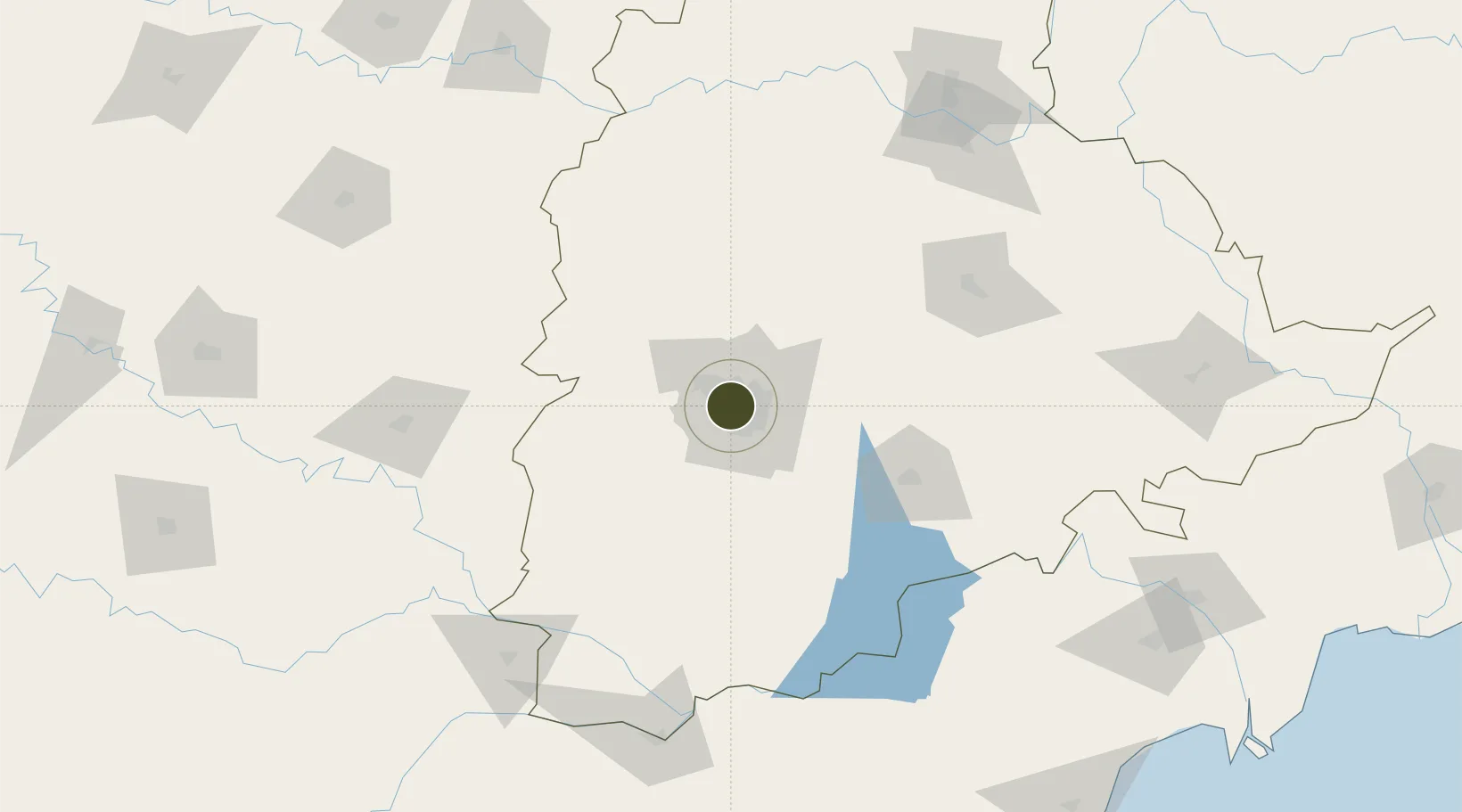
17.4307°, 78.4147°
80 ha
Zone area
398.6 km
Nearest port
6.1 km
Nearest airport

Gateway access

Nearest neighbours — logibook spatial index (haversine) over the source coordinates

Zone profile

Zone type
Specialized Zone
Open Zone Map
Specialization
Manufacturing
Open Zone Map
Region
Telangana
Open Zone Map
Status
Active
Open Zone Map
Management
Public
Open Zone Map
Operator
Gitanjali Group
Open Zone Map
Legal framework
LoA 09/023/SEZ/HYD/2008 dated 27.05.2008
Open Zone Map

Location

Location of ozm-2285
Natural Earth 10m (public domain) · Telangana · ozm-2285 · 17.43, 78.41GoogleOSMYandex

Nearby Logistics Neighbours

Ports
  1. 1Kattupalli Port399 km
  2. 2Kakinada Bay417 km
  3. 3Kamarajar Port508 km
  4. 4Gangavaram513 km
  5. 5Vishakhapatnam519 km
Nearest neighbours — logibook spatial index (haversine) over the source coordinates
Airports
  1. 1Begumpet Airport6 km
  2. 2Dundigul Air Force Academy22 km
  3. 3Rajiv Gandhi International Airport22 km
  4. 4Bidar Airport / Bidar Air Force Station112 km
  5. 5Kalaburagi Airport154 km
Nearest neighbours — logibook spatial index (haversine) over the source coordinates
Cities
  1. 1Hyderabad7 km
  2. 2APIICL-SEZ/Ranga Reddy9 km
  3. 3Hgsezl-SEZ/Ranga Reddy9 km
  4. 4CMTL ICD/Thimmapur33 km
  5. 5Raidurg36 km
Nearest neighbours — logibook spatial index (haversine) over the source coordinates
Trade Zones
  1. 1Myron Realtors Private Limited2 km
  2. 2OMICS International3 km
  3. 3Nsl SEZ, Uppal3 km
  4. 4Dr. Reddys Laboratories Ltd3 km
  5. 5Lanco Hills Technology, Manikonda5 km
Nearest neighbours — logibook spatial index (haversine) over the source coordinates
DatabookThe Record of Consolidated Knowledge
India beyond logistics?
Browse databook

All Sources

Trade ZonesOpen Zone Map
CC BY
Portsthe NGA World Port Index
Public domain (US gov)
AirportsOurAirports
Public domain
LocationsUN/LOCODE
UN/LOCODE — free
← India trade zones