Large airport · India
Rajiv Gandhi International AirportVOHS
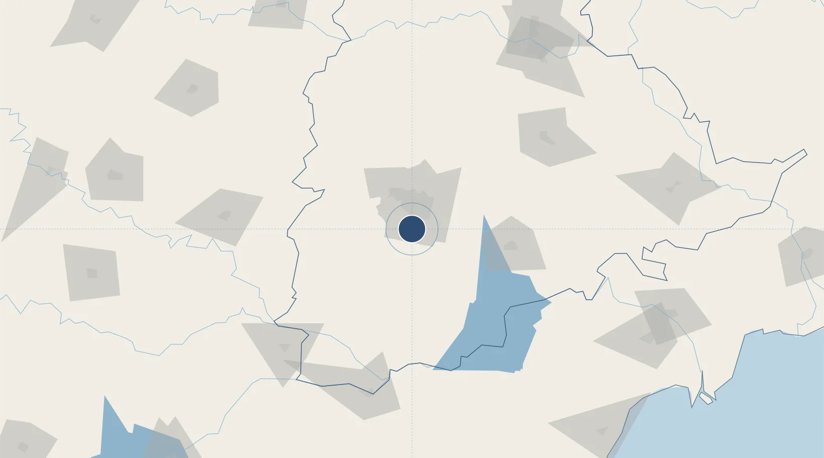
17.2313°, 78.4299°
13,976 ft
Longest runway
2
Runways
2,024 ft
Elevation
Runway & Layout

Radio Frequencies
ATIS
126.47 MHz
TOWER
118.45 MHz
GROUND
121.62 MHz
APP
120.25 MHz
APP
125.55 MHz
CONTROL-1
120.95 MHz
CONTROL-2
128.35 MHz
CONTROL-3
129.7 MHz
DELIVERY
121.62 MHz
SMC
121.85 MHz
Runways · 2
| Runway | Dimensions | Surface | True heading | Lit |
|---|---|---|---|---|
| 09R/27L | 13,976 × 197ft | Asphalt | 090° | ✓ |
| 09L/27R | 12,162 × 148ft | Asphalt | 090° | ✓ |
Airport Specifications
IATA code
HYD
ICAO code
VOHS
Airport class
Large airport
Scheduled service
Yes
Runway surface
Asphalt
Served city
Hyderabad
Location
Nearby Logistics Neighbours
Airports
- 1Begumpet Airport25 km
- 2Dundigul Air Force Academy44 km
- 3Bidar Airport / Bidar Air Force Station125 km
- 4Kalaburagi Airport156 km
- 5Kurnool Airport171 km
Cities
- 1APIICL-SEZ/Ranga Reddy16 km
- 2Hgsezl-SEZ/Ranga Reddy16 km
- 3CMTL ICD/Thimmapur17 km
- 4Hyderabad28 km
- 5ITL SEZ/Ranga Reddy35 km
Ports
- 1Kattupalli Port378 km
- 2Kakinada Bay414 km
- 3Kamarajar Port487 km
- 4Chennai (Madras)501 km
- 5Gangavaram513 km
Trade Zones
DatabookThe Record of Consolidated Knowledge
India beyond logistics?