Medium airport · India
Dundigul Air Force AcademyVODG
17.6272°, 78.4034°
8,250 ft
Longest runway
2
Runways
2,013 ft
Elevation
Runway & Layout

Radio Frequencies
TWR
119.1 MHz
ACADEMY TWR
Navaids
DG NDB Dundigul 327 kHz
Runways · 2
| Runway | Dimensions | Surface | True heading | Lit |
|---|---|---|---|---|
| 10L/28R | 8,250 × 150ft | Concrete | 099° | ✓ |
| 10R/28L | 6,800 × 150ft | Asphalt | 100° | — |
Airport Specifications
ICAO code
VODG
Airport class
Medium airport
Scheduled service
No
Runway surface
Concrete
Served city
Hyderabad
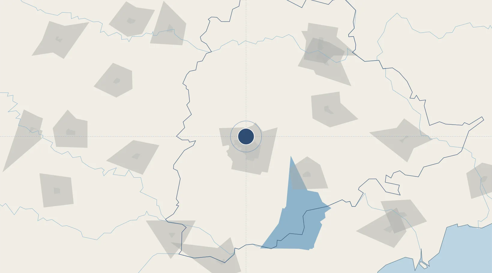
Location
Nearby Logistics Neighbours
Airports
- 1Begumpet Airport21 km
- 2Rajiv Gandhi International Airport44 km
- 3Bidar Airport / Bidar Air Force Station102 km
- 4Kalaburagi Airport157 km
- 5Nanded Airport208 km
Cities
- 1Hyderabad16 km
- 2Raidurg25 km
- 3APIICL-SEZ/Ranga Reddy30 km
- 4Hgsezl-SEZ/Ranga Reddy30 km
- 5APIIC-SEZ/Lalgadi40 km
Ports
- 1Kattupalli Port419 km
- 2Kakinada Bay421 km
- 3Gangavaram514 km
- 4Vishakhapatnam519 km
- 5Kamarajar Port528 km
DatabookThe Record of Consolidated Knowledge
India beyond logistics?