UN/LOCODE hub · India
INHYC

Raidurg

17.6833°, 78.6333°
1
Transport functions

Transport Functions

Multimodal
UN/LOCODE

Hub Profile

Region
Karnataka
GeoNames
Time zone
Asia/Kolkata
GeoNames
Elevation
402 m
GeoNames

Location

Location of INHYC
Natural Earth 10m (public domain) · Karnataka · INHYC · 17.68, 78.63GoogleOSMYandex

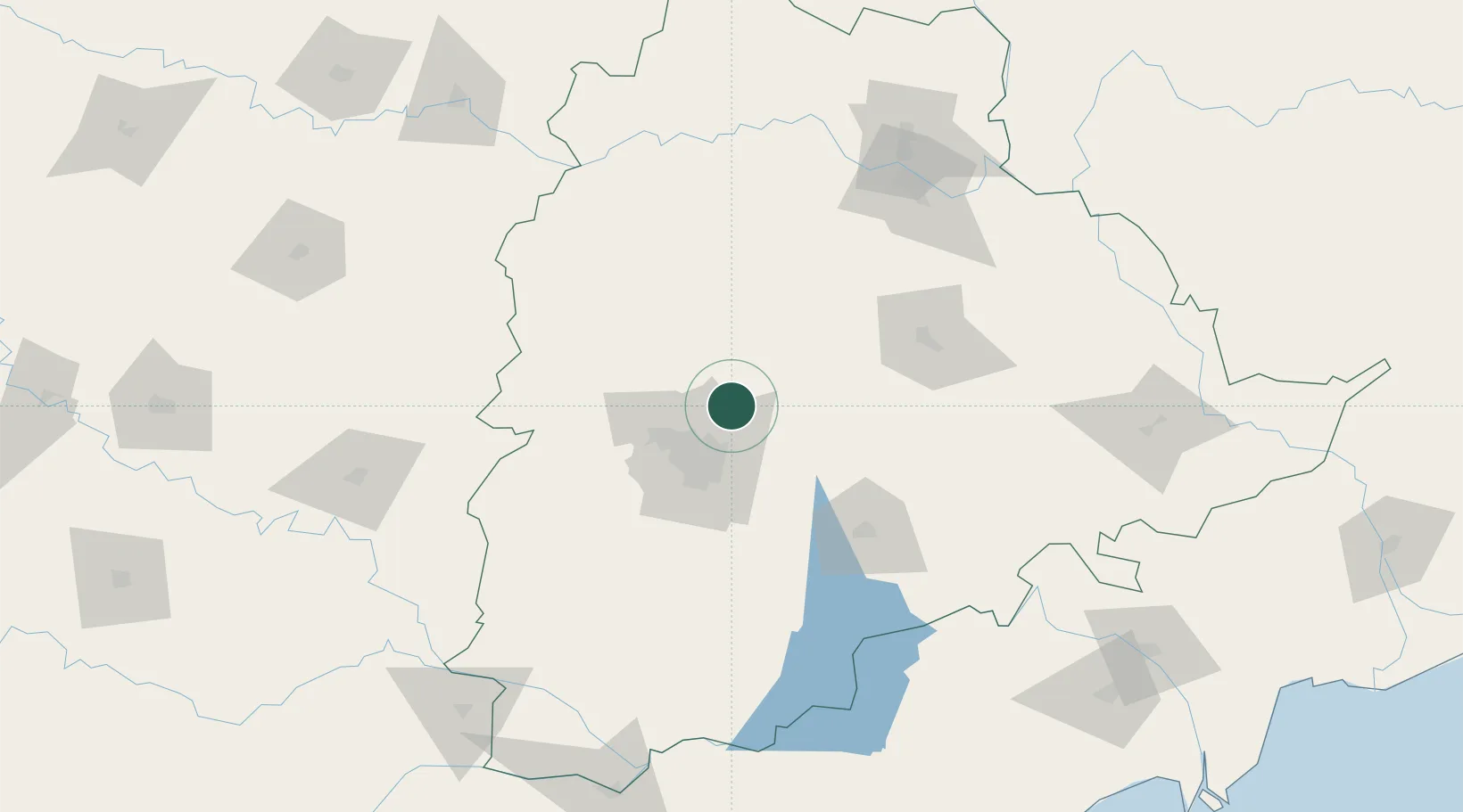
Nearby Logistics Neighbours

Cities
  1. 1APIIC-SEZ/Lalgadi19 km
  2. 2FAB City SPV-SEZ/Srinagar&Raviryal19 km
  3. 3GMR Hyderabad Aviation-SEZ/Mamidipally19 km
  4. 4Hyderabad34 km
  5. 5APIICL-SEZ/Ranga Reddy39 km
Nearest neighbours — logibook spatial index (haversine) over the source coordinates
Ports
  1. 1Kakinada Bay398 km
  2. 2Kattupalli Port414 km
  3. 3Gangavaram489 km
  4. 4Vishakhapatnam494 km
  5. 5Kamarajar Port525 km
Nearest neighbours — logibook spatial index (haversine) over the source coordinates
Airports
  1. 1Dundigul Air Force Academy25 km
  2. 2Begumpet Airport31 km
  3. 3Rajiv Gandhi International Airport55 km
  4. 4Bidar Airport / Bidar Air Force Station124 km
  5. 5Kalaburagi Airport182 km
Nearest neighbours — logibook spatial index (haversine) over the source coordinates
Trade Zones
  1. 1SP Specialized Zone (Bio-Tech) Park3 km
  2. 2Tech Mahindra Limited (Satyam Computers), Bahadurpally24 km
  3. 3Infosys Tech, Pocharam26 km
  4. 4Dr. Reddys Laboratories Ltd34 km
  5. 5Apiic Ltd & L&T, Kesarapalli36 km
Nearest neighbours — logibook spatial index (haversine) over the source coordinates
DatabookThe Record of Consolidated Knowledge
India beyond logistics?
Browse databook

All Sources

LocationsUN/LOCODE
UN/LOCODE — free
Portsthe NGA World Port Index
Public domain (US gov)
AirportsOurAirports
Public domain
Trade Zonesthe World Bank SEZ database
CC BY 4.0
Trade ZonesOpen Zone Map
CC BY
← India locations