Channel & Berth Profile
Pilotage, Tugs & Services
Pilotage compulsoryYES
Pilotage availableYES
Pilotage advisableYES
Tug assistanceYES
Salvage tugsNO
Potable waterYES
MedicalYES
Garbage disposalYES
Facilities & Capabilities
ContainerYES
Ro-RoNO
Liquid bulkYES
Dry bulkYES
Oil terminalYES
Break bulkYES
Dry dockNO
RepairsNO
BunkeringYES
Rail linkYES
Dangerous cargo—
ISPS security—
Harbour Specifications
Harbour size
Medium
Harbour type
Coastal (Breakwater)
Shelter
Good
Water body
Bay of Bengal; Indian Ocean
Tidal range
1 m
Overhead limit
Yes
Pilotage
Yes
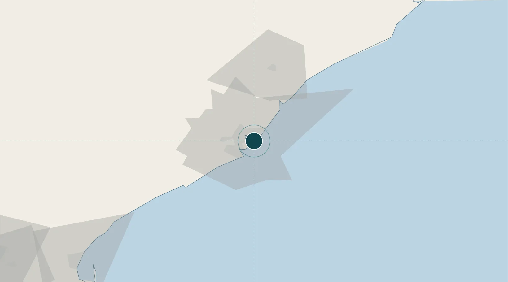
Location
Nearby Logistics Neighbours
Ports
- 1Gangavaram8 km
- 2Kakinada Bay129 km
- 3Gopalpur252 km
- 4Paradip457 km
- 5Kattupalli Port510 km
Cities
Airports
- 1Visakhapatnam International Airport9 km
- 2Rajahmundry Airport170 km
- 3Jagdalpur Airport204 km
- 4Utkela Airport269 km
- 5Vijayawada International Airport295 km
Trade Zones
DatabookThe Record of Consolidated Knowledge
India beyond logistics?